Catalog Archive
Auction 188, Lot 288

"Map of the Virgin Islands, for the History of the West Indies", Edwards, Bryan

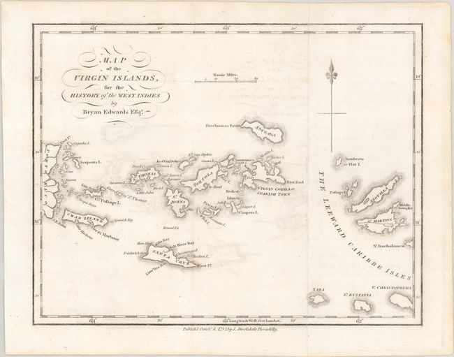
Subject: Virgin Islands

Period: 1794 (dated)

Publication: The History, Civil and Commercial, of the British Colonies in the West Indies

Color: Black & White

Size:
8.9 x 6.9 inches
22.6 x 17.5 cm
Download High Resolution Image
(or just click on image to launch the Zoom viewer)

This map of the Virgin Islands was made by Bryan Edwards, a Jamaican planter and politician, for his publication describing the West Indies. The map covers the area between Puerto Rico's eastern shore and Anguilla, Saint Martin, and Saint Kitts, with all of the major Virgin Islands shown, including Saint Thomas, Saint Croix, and Tortola. Dozens of smaller islands are named, as are various bays, harbors, and points. Published by John Stockdale.

References:

Condition: A

Issued folding on a bright sheet with light offsetting.

Estimate: $300 - $375

Sold for: $400

Closed on 6/22/2022

Archived