Subject: Dallas, Texas
Period: 1935 (circa)
Publication:
Color: Printed Color
Size:
20.8 x 25.4 inches
52.8 x 64.5 cm
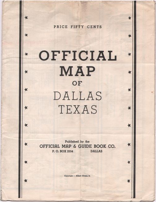
This detailed street map of Dallas was produced by Albert Evans Jr. and covers the area from Love Field south to beyond Cedar Crest Country Club. Individual streets are named and numerous parks, golf courses, country clubs, and cemeteries are identified. Street and bus lines are shown in red overprinting along with large letters indicating neighborhoods, e.g. U for University Park, H for Highland Park, N, S and E for North, South and East, and O for Oak Cliff. Includes an inset map of "Down Town Dallas” along with a numbered index identifying sites shown on the map. Numerous local advertisements are found above and below the map and on verso as well. Self-folding (8.5 x 11"). No examples located on OCLC.
References:
Condition: A
Issued folding on a clean sheet with a couple of short splits at the fold junctions.