Subject: Illinois
Period: 1856 (published)
Publication:
Color: Black & White
Size:
5.9 x 9.1 inches
15 x 23.1 cm
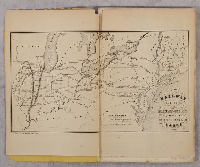
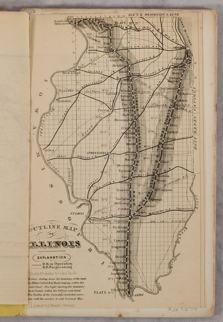
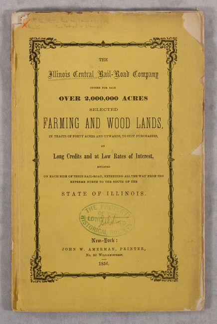
This 64-page promotional booklet was issued by the Illinois Central Railroad and printed by John Amerman in New York. It includes a small double-page Railway Guide to the Illinois Central Railroad Lands (10.5 x 6.0") extending from the eastern seaboard to the Mississippi River with the Illinois Central Railroad prominently depicted and connecting to the eastern railroad network, and a single-page Outline Map of Illinois (5.25 x 8.75") showing better detail of the state and railroad. Both maps were lithographed by Edward Mendel in Chicago, indicating the maps were likely produced in Chicago and sent to New York for inclusion with the text. The text describes the advantages of Illinois and provides a helpful section on “What Articles it will be best to bring out from the East,” e.g. “highly finished and costly furniture is mostly all brought from the East, and sold at a large advance in the West.” Eberstadt notes that "the work is, in effect, a guidebook to Illinois.”
References: Eberstadt #138-311.
Condition: B+
The double-page map has a centerfold separation at top that just enters the border and a small chip in the top blank margin. Text is very good with an occasional spot of foxing. Wrappers are chipped with an old stamp on the front wrapper.