Catalog Archive
Auction 188, Lot 197

"Alameda County, California Showing the Automobile Roads and Principal Points of Interest Distances in Miles from Oakland City Hall",

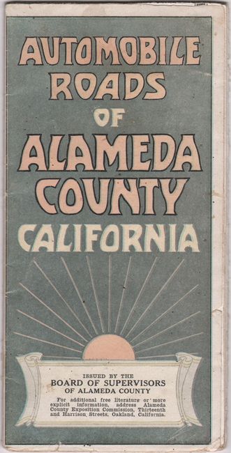
Subject: Alameda County, California

Period: 1917 (dated)

Publication:

Color: Printed Color

Size:
21.9 x 14.4 inches
55.6 x 36.6 cm
Download High Resolution Image
(or just click on image to launch the Zoom viewer)

This map of the East Bay was drawn by C. Merriman Peter and extends from Berkeley and Oakland east to Hayward, Pleasanton and Livermore. It depicts the road network, railroads, and the mountains with a rich three-dimensional quality. Includes a decorative table of distances at top and compass rose at bottom left. The verso contains numerous illustrations, including two panoramic views of Livermore Valley. Published by the Alameda County Board of Supervisors. Self-folding into pictorial wrappers (3.9 x 7.7").

References:

Condition: B+

Issued folding with several small fold separations, a few of which have been repaired on verso with old tape.

Estimate: $160 - $190

Unsold

Closed on 6/22/2022

Archived