Subject: Western Hemisphere - America
Period: 1796 (published)
Publication:
Color: Black & White
Size:
5.3 x 8.6 inches
13.5 x 21.8 cm
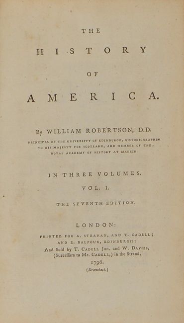
This lot contains two (of three) volumes from the seventh edition of William Robertson's History of America. The 4 maps in this edition were issued within the first two volumes, so this example is complete from that perspective. The list of maps include:
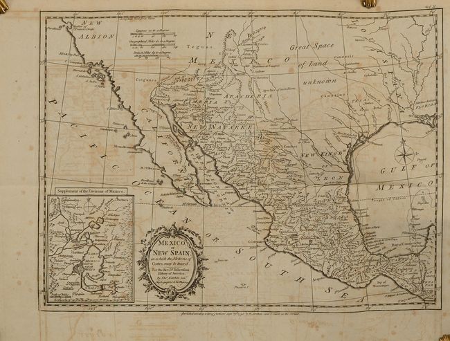
Mexico, or New Spain; in Which the Motions of Cortes May Be Traced... (15.3 x 11.2"). This is an attractive map of the American Southwest and Mexico. California is labeled New Albion with no detail outside of a few coastal place names. The region of present-day Arizona and New Mexico is well delineated with numerous Indian villages and the locations of missions. The area from New Mexico to Louisiana is named as "Great Space of Land Unknown." The small Texas settlement of Cenis is near the New Kingdm. of Leon. An inset shows Mexico City on the large Lake of Mexico. Finely engraved with a decorative title cartouche and compass rose. This map was originally published in 1777, this being the 1795 edition by W. Strahan and T. Cadell.
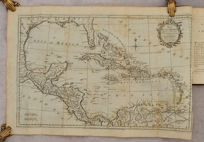
Map of the Gulf of Mexico, the Islands and Countries Adjacent (19.3 x 12.3"). Lovely copper-engraved map covering the region from Florida and the Gulf coast to northern South America. The southern portion of Florida is fragmented into numerous waterways. There is crisp detail of the many islands, the South American coast and Central America.
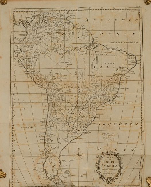
Map of South America (17.7 x 12.6"). Nice map of the continent with good detail of towns, villages, ports and topography. Delicately engraved title cartouche indicates Kitchin is the Hydrographer to his Majesty.
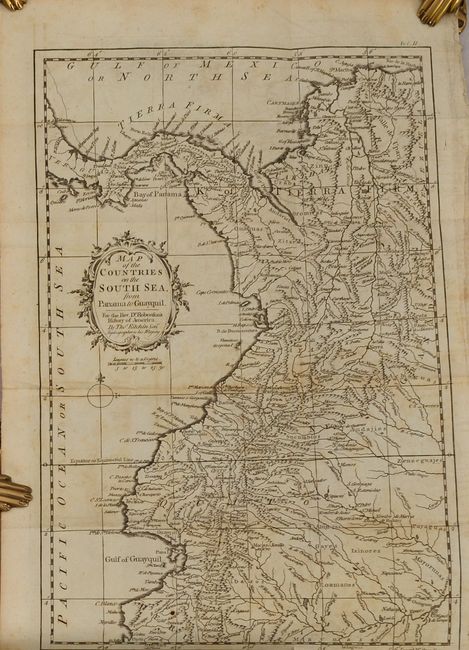
Map of the Countries on the South Sea, from Panama to Guayquil (9.3 x 14.5"). Strongly engraved map of northwestern South America that includes portions of Colombia, Ecuador, and Panama. Extends south to below Cape Blanco and Colan. Filled with details and place names, watersheds and topographical information. Rococo-style title cartouche with distance scale below.
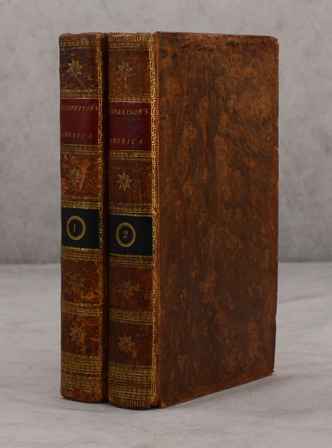
Two volumes with 818 total pages (volume 1 - 343 pages, volume 2 - 475 pages). Hardbound in contemporary leather with gilt tooling and title labels on the spine.
References: Howes #R-358.
Condition: B+
The maps are good to very good with light offsetting, a few short binding tears, and some scattered foxing on the map of New Spain. Text is mostly clean and tight with an occasional spot of foxing. A former owner's bookplate is on the front pastedown of both volumes. Bindings have light wear and the corners are bumped.