Subject: References
Period: 1988-89 (published)
Publication:
Color: Printed Color
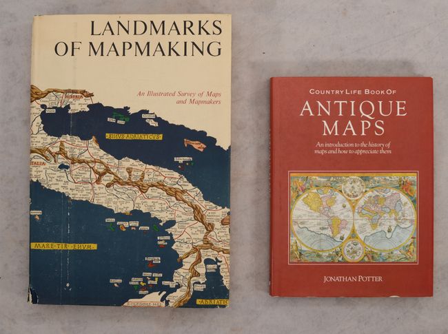
A. Landmarks of Mapmaking - An Illustrated Survey of Maps and Mapmaking, by Tooley & Bricker, published 1989 (10.4 x 14.4"). Charles Bicker wrote this beautifully produced and well-illustrated cartographic reference. It covers the exploration and mapping of Europe, Asia, Africa, the Americas, and Australia. The preface is by Gerald Roe Crone, and the maps were chosen by R. V. Tooley. Comprised of 276 pages, over 350 illustrations, including maps, portraits, title pages, and reproductions from early sources, 14 color folding maps, other color illustrations, bibliography, and index. Second edition, published by Thomas Y. Crowell, 1976. Folio, hardbound in linen cloth, gilt lettering, gilt and white compass rose on front cover, pictorial end-papers, and dust jacket. Condition: Contents are near fine. Covers have minor shelf wear. Dust jacket has minor soiling and light wear and tears along the edges.
B. Country Life Book of Antique Maps - An Introduction to the History of Maps and How to Appreciate Them, by Jonathan Potter, published 1988 (8.9 x 12.1"). This reference is a good introduction to collecting antique maps for the newer collector. It is beautifully illustrated, mostly in color. Covering all parts of the world from about 1500 to 1850. Hardbound in red cloth with dust jacket. Gilt title at spine. 192 pages, including index. Condition: Minor shelf wear to covers and dust jacket, otherwise fine.
References:
Condition: A
See description above.