Subject: School Atlases
Period: 1832 (published)
Publication:
Color: Hand Color
Size:
9.1 x 11 inches
23.1 x 27.9 cm
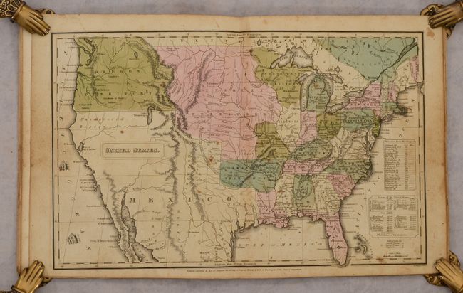
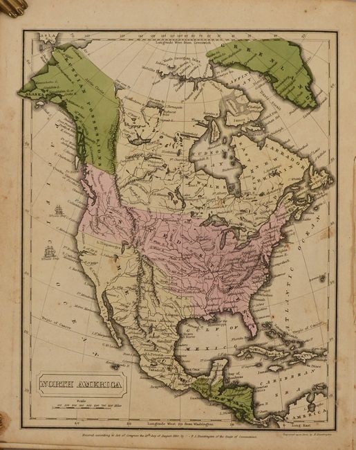
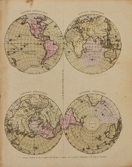
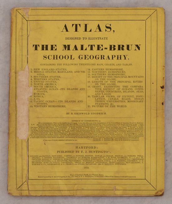
This school atlas contains 5 double-page maps, 6 single-page maps, and three tables (it is missing the Europe and Atlantic Islands maps). The double-page maps are dedicated to the United States with 4 regional maps of the eastern half and one in its entirety that features early and interesting western territorial configurations. It includes a large Arkansas Territory, Missouri Territory stretching to the Rocky Mountains, and Oregon Territory extending north into British Columbia. Mexico is in control of Texas and the Southwest. Published by F. J. Huntington in Hartford. Printed paper wrappers.
References:
Condition: B+
The maps are overall very good with minor soiling. The U.S. map also has some scattered foxing, and the New England map has dampstaining at top. Wrappers are chipped with minor soiling.