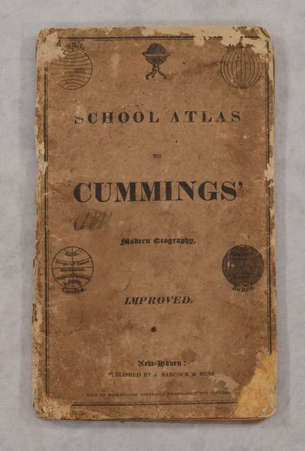
Subject: School Atlases
Period: 1825 (circa)
Publication:
Color: Black & White
Size:
6 x 9.7 inches
15.2 x 24.6 cm
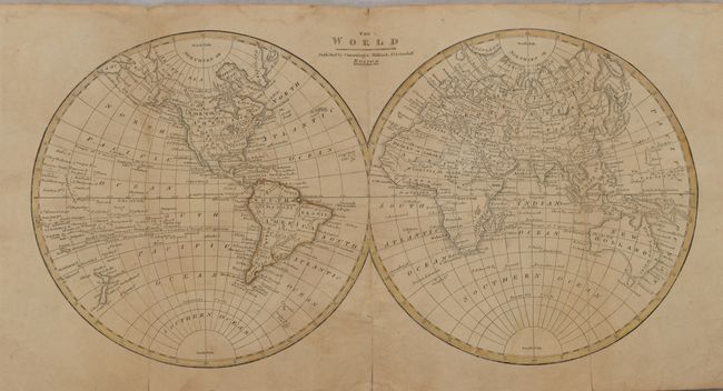
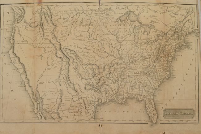
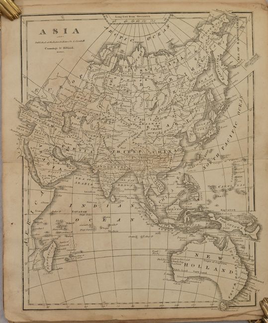
This early school atlas contains seven (of eight) maps, including five double-page maps of the continents and folding maps of the world and United States. The U.S. map shows organization pushing west of the Mississippi River, with the appearance of the new state of Missouri and Arkansas Territory in its largest configuration. Mexico is in control of the Southwest including a named Texas, and the boundary with Canada stops at the Rocky Mountains owing to the uncertainty of ownership in Oregon country. Adjacent to the California coast is a large “Unexplored Country." Published by Babcock & Sons in New Haven. Original stiff paper covers.
References:
Condition: B
The maps are lightly toned with some dampstains along the lower third of the sheets. The two folding maps (World and United States) have some small fold separations along the sheet edges, and the world map is bound upside down. Covers are heavily worn and soiled from use.