Subject: Atlases
Period: 1872 (published)
Publication:
Color: Hand Color
Size:
13 x 18 inches
33 x 45.7 cm
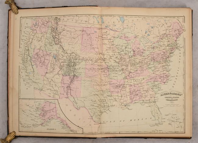
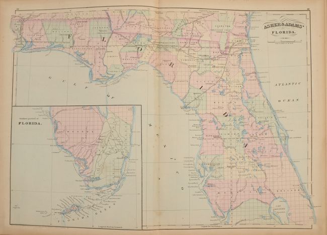
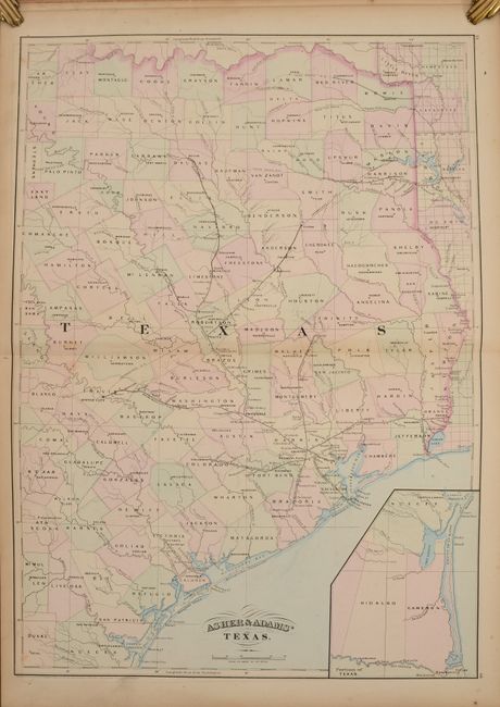
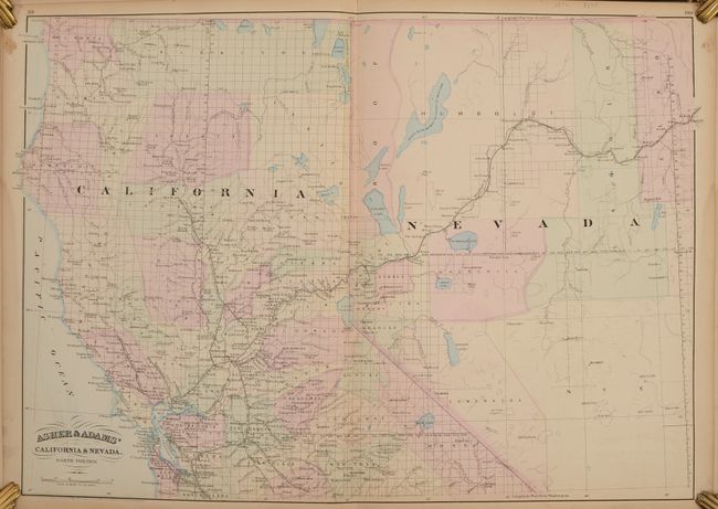
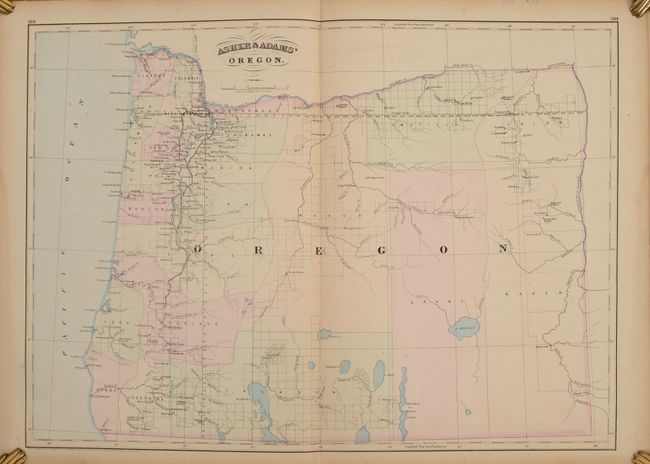
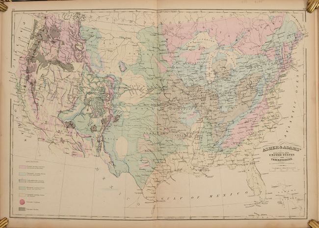
This large-format atlas of the United States contains 26 (of 28) double-page maps with original delicate pastel coloring (missing the Iowa and Kansas maps). Asher & Adams' atlases were most notable for their excellent large-format maps of the states west of the Mississippi. The atlas includes a world map on Mercator's Projection, a map of Europe, a United States and Territories map, and numerous state maps. Also featured is a geological map of the United States that depicts seven geological groups and is likely based upon the 1873 map by Charles Hitchcock and William Blake. The map of Oregon shows early county development with much of the state still unorganized. The Oregon California R.R. extends from Oakland north to E. Portland, and the Oregon Central R.R. runs between Portland and the vicinity of Lincoln. Text following the maps includes population data, location of new post offices, place name index for Ohio, and a "classification of prominent firms" for a number of cities in Ohio.
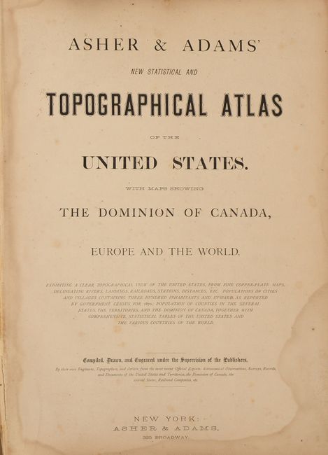
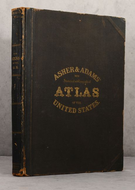
Contents include title page, contents, preface, maps, and text. Folio, original quarter calf with tips over brown cloth-covered boards with gilt title on front cover and spine.
References:
Condition: B+
The maps are mostly clean and bright with some occasional foxing in the back half of the atlas. A small chip in the bottom margin of the Missouri map does not enter the image. There is some dampstaining along the gutter and bottom edge of the title page, table of contents, and preface. The front hinge is starting, and the binding has average wear.