Catalog Archive
Auction 187, Lot 620
"Carte du Katay ou Empire de Kin, pour Servir a l'Histoire de Jenghiz Khan. Raportee dans l'Histoire Generale des Voyages, Tiree de l'Anglois", Bellin, Jacques Nicolas
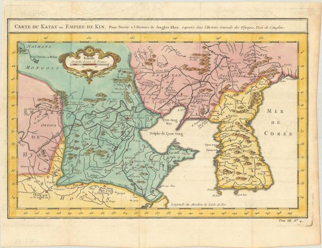
Subject: China & Korea
Period: 1757 (circa)
Publication: Histoire Generale des Voyages
Color: Hand Color
Size:
12.4 x 8.2 inches
31.5 x 20.8 cm
Download High Resolution Image
(or just click on image to launch the Zoom viewer)
(or just click on image to launch the Zoom viewer)