Catalog Archive
Auction 187, Lot 609
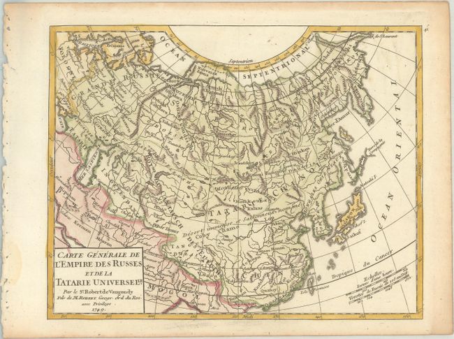
"Carte Generale de l'Empire des Russes et de la Tatarie Universelle", Robert de Vaugondy, Didier
Subject: Northern Asia
Period: 1749 (dated)
Publication: Atlas Portatif Universel et Militaire
Color: Hand Color
Size:
8.1 x 6.4 inches
20.6 x 16.3 cm
Download High Resolution Image
(or just click on image to launch the Zoom viewer)
(or just click on image to launch the Zoom viewer)