Catalog Archive
Auction 187, Lot 584

"Carte d'Etude de la Terre Sainte pour Servir a l'Histoire du Nouveau Testament", Mortier, Pierre
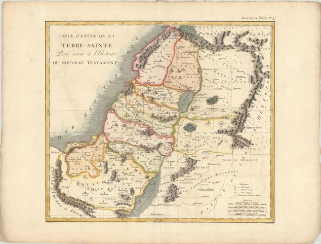
Subject: Holy Land

Period: 1809 (published)

Publication: Atlas de la Bible

Color: Hand Color

Size:
17.2 x 15.2 inches
43.7 x 38.6 cm
Download High Resolution Image
(or just click on image to launch the Zoom viewer)

This is an uncommon version of Mortier's map of the region covering present-day Israel and Jordan, engraved by Mademoiselle Glot and published by Jacques Desray. The map shows the Holy Land kingdoms of Judea and Israel along with the lands of the twelve tribes. The travels of Jesus Christ are prominently delineated.

References:

Condition: B+

A nice impression on a sheet with a bunch of grapes watermark and light soiling and offsetting. There is soiling as well as tiny chips and tears along the edges of the sheet.

Estimate: $160 - $190

Unsold

Closed on 4/27/2022

Archived