Catalog Archive
Auction 187, Lot 570

"Asiae, quae Vulgo Minor Dicitur, et Syriae Tabula Geographica, Quantum per Subsidia Licuit Elaborata...", Anville, Jean Baptiste Bourguignon d'

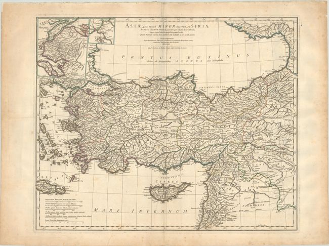
Subject: Turkey & Syria

Period: 1764 (dated)

Publication:

Color: Hand Color

Size:
24.4 x 20 inches
62 x 50.8 cm
Download High Resolution Image
(or just click on image to launch the Zoom viewer)

Stunning, large-scale map of ancient Turkey showing the Black Sea, Mediterranean Sea, Aegean Sea and islands, Crete, Cyprus, part of Armenia, and Syria with many ancient place names throughout the map. Inset at the top with a map of Troy and a smaller one of the Bosphorus. ngraved by Guillaume Delahaye. D'Annville was the Royal French cartographer and was elected to the Academie des Sciences in 1773. His maps are noted for their scientific accuracy and were copied by many subsequent cartographers.

References:

Condition: B+

Contemporary outline color on watermarked paper with light scattered foxing. There are two repaired edge tears at left with one just entering the map border.

Estimate: $180 - $220

Sold for: $130

Closed on 4/27/2022

Archived