Catalog Archive
Auction 187, Lot 567

"Patriarchatus Antiocheni Geographica Descriptio", Tavernier, Melchior

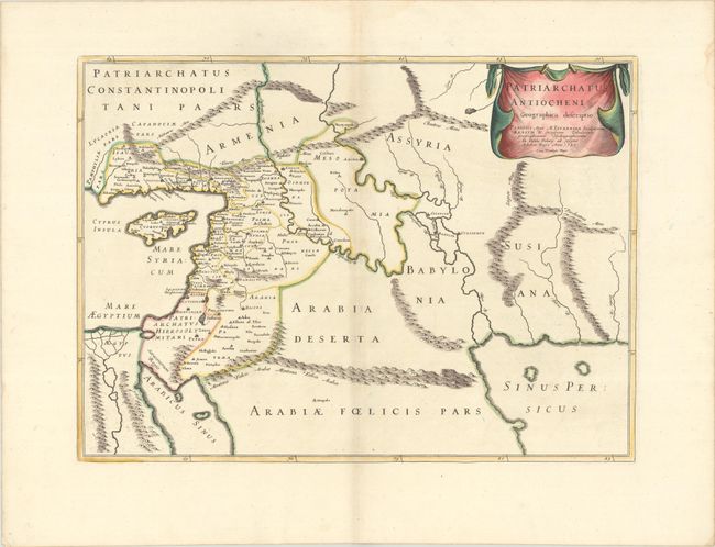
Subject: Middle East & Cyprus

Period: 1640 (dated)

Publication:

Color: Hand Color

Size:
19.6 x 14.3 inches
49.8 x 36.3 cm
Download High Resolution Image
(or just click on image to launch the Zoom viewer)

This map depicts the ancient Principality of Antioch along the eastern end of the Mediterranean, in parts of present-day Turkey and Syria. The map extends to the Persian Gulf and is filled with ancient place names, political boundaries, rivers, and exaggerated mountain ranges. Decorated with a drape-style title cartouche.

References:

Condition: B+

A sharp impression on a bright sheet with contemporary outline color in the map and later color in the cartouche, with a large coat of arms watermark, light toning and offsetting along the centerfold, and three small worm holes in blank areas of the map.

Estimate: $240 - $300

Unsold

Closed on 4/27/2022

Archived