Catalog Archive
Auction 187, Lot 563

"Estats de l Empire du Grand Seigneur dit Sultan et Ottomans Empereur des Turcs dans Trois Parties du Monde Scavoir en Europe en Asie et en Afrique...", Leth, Hendrik de

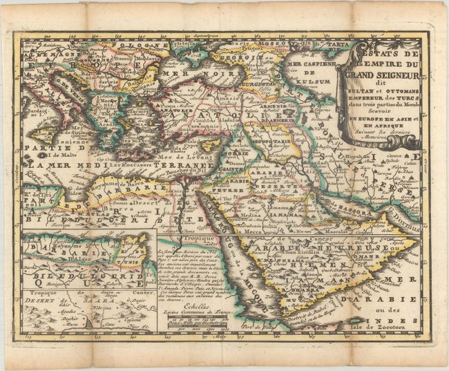
Subject: Eastern Mediterranean & Middle East

Period: 1740 (circa)

Publication: Nouvel Atlas Geographique & Historique...

Color: Hand Color

Size:
8.6 x 6.4 inches
21.8 x 16.3 cm
Download High Resolution Image
(or just click on image to launch the Zoom viewer)

This attractive small map shows the extent of the Ottoman Empire from the Balkans to Persia, including all of Arabia and North Africa. Includes inset maps of the kingdoms of Algeria, Tunisia, and part of Libya, and another of the Sahara Desert. The map is based on the cartography of Nicolas Sanson, and is a reduced version of his map of 1654. There is a French text notation on the map regarding the Nile and its source in Ethiopia. For his Nouvel Atlas, Leth made close copies of Jacques Chiquet's maps published in Le Nouveau et Curieux Atlas in 1719.

References: Shirley (BL Atlases) T.LETH-1a.

Condition: B+

A dark impression with contemporary outline color, issued folding with light toning along the folds and short fold separations that have been archivally repaired on verso.

Estimate: $110 - $140

Sold for: $80

Closed on 4/27/2022

Archived