Catalog Archive
Auction 187, Lot 508

"Partie Occidentale de la Russie Polonoise ou se Trouvent la Russie Noire, la Haute Volhynie, et la Haute Podolie", Robert de Vaugondy, Didier

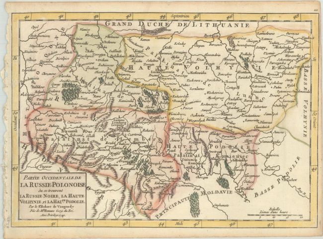
Subject: Western Ukraine

Period: 1749 (dated)

Publication: Atlas Portatif Universel et Militaire

Color: Hand Color

Size:
9.4 x 6.6 inches
23.9 x 16.8 cm
Download High Resolution Image
(or just click on image to launch the Zoom viewer)

This map of western Ukraine extends from Lublin, Poland in the northwest to Bratslav, Ukraine in the southeast. The map is divided into regions based on ancient territories, including Volhynie, Podolie, and Russie Noire (Black Russia). At the time, this region was governed by the Polish–Lithuanian Commonwealth.

References: Pedley #75.

Condition: A

A crisp impression with light toning along the edges of the sheet and trimmed close to the neatline at right by the bookbinder.

Estimate: $110 - $140

Sold for: $120

Closed on 4/27/2022

Archived