Catalog Archive
Auction 187, Lot 443

"Nieuwe Paskaart van t'Ras van Conquest en Fonteny. Behelfende de West Cust van Bretaigne met de by Leggende Eylanden", Keulen/Vooght

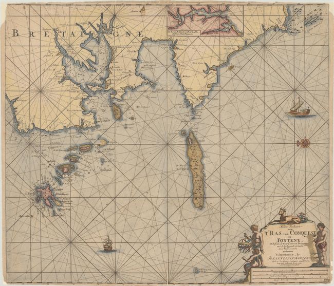
Subject: Western France

Period: 1728 (circa)

Publication:

Color: Hand Color

Size:
23.4 x 20.4 inches
59.4 x 51.8 cm
Download High Resolution Image
(or just click on image to launch the Zoom viewer)

An attractive sea chart of the Brittany coast extending from Ushant Island (the westernmost part of present-day France) east to Brest and south to Penmarch. It is filled with navigational detail including anchorages, soundings, shoals, and a small inset at top showing the area just east of Penmarch including Pont-l'Abbe and Ile-Tudy. The chart is embellished with rhumb lines, a compass rose, two sailing ships, and a decorative title cartouche.

References:

Condition: B

Issued on watermarked paper with a 3" fold separation at bottom and numerous small edge tears that have all been archivally repaired on verso. There are edge chips in the corners of the sheet, with loss of border at top left.

Estimate: $350 - $425

Unsold

Closed on 4/27/2022

Archived