Subject: France
Period: 1596-1617 (published)
Publication:
Color: Black & White
Size:
6.8 x 5 inches
17.3 x 12.7 cm
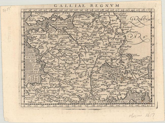
A. Galliae Regnum, from Geographiae Universae tum Veteris tum Novae…, published 1596. This delicately engraved small map features good information throughout and stipple engraved seas. It primarily covers France but extends to include parts of Spain, Belgium, Germany, and Switzerland. The map was one of the 36 modern maps published in an edition of Ptolemy's Geography edited by the distinguished Italian geographer Giovanni Magini. Engraved by Girolamo Porro. Latin text on verso. Condition: A crisp impression with a few light rust spots in the bottom right corner.
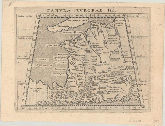
B. Tabula Europae III, from Ioannis Antonii Magini...Geographiae, tum Veteris, tum Novae..., published 1617. This small Ptolemaic map of France extends east to include the Rhine and Lake Leman. The Alps and Pyrenees Mountains are clearly shown and major cities are identified. The sea is stipple engraved in the Italian style. Latin text on verso. From Magini's fourth Latin edition, printed in Arnhem by Jan Jansson. Condition: A nice impression on a faintly toned sheet.
References: Mickwitz & Miekkavaara #223-34 & #231-5.
Condition: A
See description above.