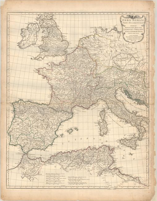
Subject: Western Europe
Period: 1763 (dated)
Publication:
Color: Hand Color
Size:
22.1 x 26.9 inches
56.1 x 68.3 cm
An attractive large-scale map depicting the western portion of the Roman Empire extending from Ireland and England south to northern Africa. It locates numerous ancient place names, important rivers, and mountains. Features 8 distance scales and decorated by a strapwork title cartouche. Engraved by Guillaume Delahaye. D'Annville was the Royal French cartographer and was elected to the Academie des Sciences in 1773. His maps are noted for their scientific accuracy and were copied by many subsequent cartographers.
References:
Condition: B+
Contemporary outline color on watermarked paper with an archivally repaired 3.5" edge tear at bottom. There is some light scattered foxing mostly along the sheet edges and numerous chips in the right blank margin, which has been backed with tissue.