Catalog Archive
Auction 187, Lot 431

"Le Cours de la Riviere du Rhein Depuis sa Source Jusques a son Embouchure ou sont Distingues tous les Estats et Souverainetes, qui sont Dessus et aux Environs", Sanson/Jaillot

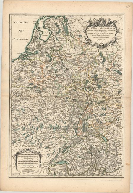
Subject: Western Europe, Rhine River

Period: 1695 (dated)

Publication: L'Atlas Francais

Color: Hand Color

Size:
18.1 x 25.7 inches
46 x 65.3 cm
Download High Resolution Image
(or just click on image to launch the Zoom viewer)

This handsome map traces the course of the Rhine River, from its source in Switzerland through Germany and to where its flows into the North Sea, in the Netherlands. The map extends to show part of France and Belgium. It is very detailed with mountains, rivers, forests, cities, and villages. Decorative cartouches enclose the title (at top right) and six distance scales (at bottom left).

References: cf. Pastoureau, Jaillot II A [69].

Condition: B+

A crisp impression with some minor mildew spots and faint offsetting at top.

Estimate: $190 - $220

Unsold

Closed on 4/27/2022

Archived