Catalog Archive
Auction 187, Lot 404

"Ancient and Modern Ireland Drawn and Engraved for Dr. Playfair's Atlas", Playfair, James
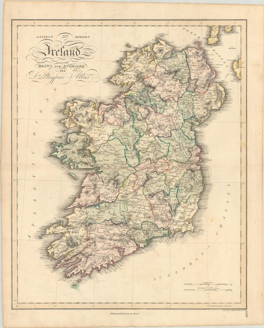
Subject: Ireland

Period: 1814 (published)

Publication: A New General Atlas, Ancient and Modern...

Color: Hand Color

Size:
16.9 x 20.8 inches
42.9 x 52.8 cm
Download High Resolution Image
(or just click on image to launch the Zoom viewer)

This handsome map of Ireland is delineated by county and presents the road and canal network, cities and towns, rivers and lakes, and topography through hachuring. There is excellent detail along the coastline as well with numerous bays, heads, and islands noted. The map extends to show the southwestern tip of Scotland at top right. Engraved by B. Smith Walworth.

References:

Condition: B+

Contemporary color with faint offsetting and a centerfold separation at left that extends 1.5" into the image.

Estimate: $160 - $190

Sold for: $160

Closed on 4/27/2022

Archived