Subject: Britain
Period: 1851 (circa)
Publication:
Color: Hand Color
Size:
29.8 x 38.9 inches
75.7 x 98.8 cm
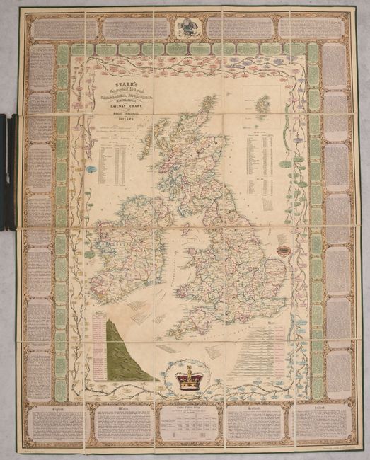
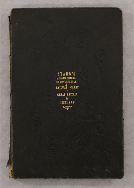
This attractive folding map gives extensive information on the British Isles. The map is divided by county and shows the major roads, railways, and towns. Each county is numbered, with tables listing the population and square miles in each. Extensive additional information surrounds the map, including charts of the longest rivers and tallest mountains, genealogical trees for important family lines (such as the Saxons, House of Stuart, House of Tudor, and House of Brunswick) through 1850, as well as details on 40 English counties. The exterior border provides historical information by century. Published by J. Stark in Glasgow and lithographed by Maclure, Macdonald & Macgregor. Dissected into 20 sections and mounted on linen and edged with green silk. Folds into original black embossed boards with gilt title on front cover.
References:
Condition: B+
Full contemporary color with light soiling and some color offsetting. The covers are moderately worn with bumped corners and several tears and chips along the spine.