Catalog Archive
Auction 187, Lot 332

"Terre-Ferme Perou, Bresil Pays de l'Amazone", Robert de Vaugondy, Didier

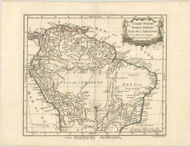
Subject: Northern South America

Period: 1778 (circa)

Publication: Nouvel Atlas Portatif

Color: Hand Color

Size:
11.1 x 9.4 inches
28.2 x 23.9 cm
Download High Resolution Image
(or just click on image to launch the Zoom viewer)

This is the second state of this decorative map of northern South America. It shows good detail of mountain ranges and the river systems of the region. A mythical lake, identified on another state as L. de los Xarayes, appears as the source of the Paraguay River. Most place names are confined closer to the coasts, with the large Pays de l'Amazone at the center of the continent left largely blank. The map was engraved by E. Dussy, and the ornate title cartouche was drawn and engraved by Arrivet.

References: Pedley #498.

Condition: A

On a watermarked sheet with minor soiling.

Estimate: $100 - $130

Sold for: $75

Closed on 4/27/2022

Archived