Catalog Archive
Auction 187, Lot 324

NO RESERVE

"Isle de la Martinique", Bellin, Jacques Nicolas
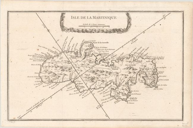
Subject: Martinique

Period: 1763 (circa)

Publication:

Color: Black & White

Size:
13.5 x 8.4 inches
34.3 x 21.3 cm
Download High Resolution Image
(or just click on image to launch the Zoom viewer)

Delicately detailed map of the island showing mountains, roads, towns, forts, anchorages and dozens of place names. Exhibiting fine coastal detail, the chart locates Fort Royal and Cul de Sac Royal, Precheur, Le Carbet, Cul de Sac Robert, Pointe de la Caravelle, and Bourg et Par de la Trinite. Decorated by an attractive title cartouche that incorporates a distance scale. Engraved by Croisy.

References:

Condition: B+

A nice impression, issued folding with a hint of offsetting and scattered foxing.

Estimate: $80 - $95

Sold for: $21

Closed on 4/27/2022

Archived