Catalog Archive
Auction 187, Lot 295

"Central America Including Mexico, Texas and California", Philip, George
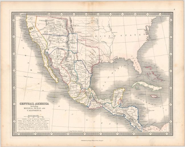
Subject: Southern United States, Mexico & Central America

Period: 1855 (circa)

Publication:

Color: Hand Color

Size:
11.6 x 9 inches
29.5 x 22.9 cm
Download High Resolution Image
(or just click on image to launch the Zoom viewer)

Published after the Gadsden Purchase, this map shows New Mexico and Utah territories in their largest extent. A Mormon Settlement is located to the east of the Great Salt Lake and a spurious R. S. Buenaventura is still shown flowing to the Pacific Ocean. Texas' western boundary is truncated with its border shown along the Rio Puerco instead of the more westerly Rio Grande. The map includes good detail throughout Mexico, Central America, and the southwestern US, but is devoid of information in the eastern US. Surrounded by a keyboard-style border.

References:

Condition: B+

Contemporary outline color with minor foxing mostly in the margins and light color offsetting.

Estimate: $200 - $230

Unsold

Closed on 4/27/2022

Archived