Subject: Vermont
Period: 1794 (published)
Publication:
Color: Black & White
Size:
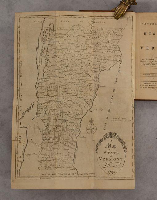
10.3 x 14.2 inches
26.2 x 36.1 cm
This early and uncommon map of the state details counties, towns and villages, rivers, lakes, and mountains. Scores of townships and counties are named and delineated, and Dartmouth College is located across the Connecticut River in neighboring New Hampshire. The map is completed with fancy titling and a compass rose.
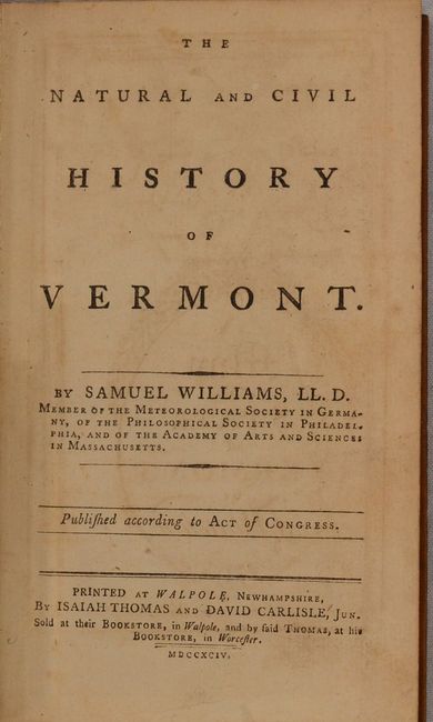
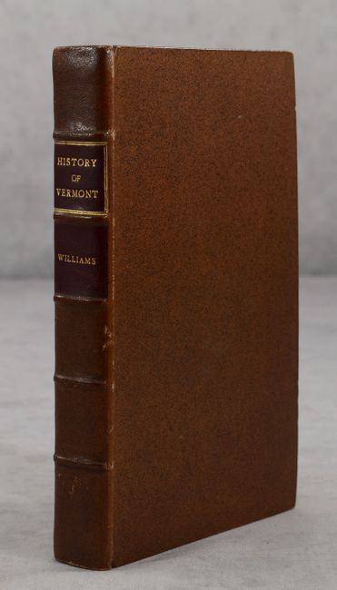
The map is still bound into the front of Samuel Williams' The Natural and Civil History of Vermont. The 416 pages of text includes chapters on the state's physical description, native Indians, early English settlements, customs, laws, religion and more. Includes a 5-page list of subscribers at the rear of the volume. Octavo, hardbound in full leather with title label on spine.
References: Wheat & Brun #194; Howes #W-478; Sabin #104350.
Condition: B+
The folding map has light toning and offsetting and a 1" fold separation at lower left. Text is tight with even toning throughout. Modern leather binding is pristine.