Subject: Black Hills, South Dakota
Period: 1949 (circa)
Publication:
Color: Printed Color
Size:
17.9 x 26.1 inches
45.5 x 66.3 cm
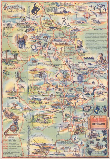
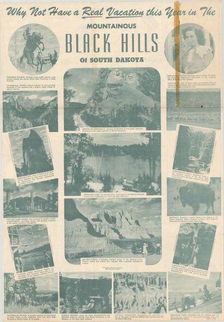
This promotional map of the Black Hills region extends from Belle Fourche south to Edgemont and from Rapid City west to Newcastle. It locates Mt. Rushmore, Badlands, Deadwood and Sturgis and is filled with illustrations related to the tourist including points of interest, recreational activities, historical scenes, wildlife, and more. A legend at bottom locates paved roads, gravel roads, "earth" roads and railroads. Drawn by K. Pyle and published by the Black Hills and Bad Lands Association. The verso features numerous related photographic illustrations. Self-folding (3.9 x 8.9").
References:
Condition: B+
A clean and colorful example with cello tape reinforcement along one fold on verso. Issued folding.