Catalog Archive
Auction 187, Lot 259

NO RESERVE

"Plan of the City of Albany About the Year 1770", Pease, R. H.

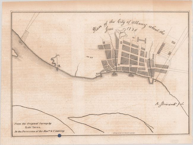
Subject: Albany, New York

Period: 1850 (circa)

Publication:

Color: Black & White

Size:
11.6 x 8 inches
29.5 x 20.3 cm
Download High Resolution Image
(or just click on image to launch the Zoom viewer)

This is a handsome 19th century reproduction of Robert Yates' 1770 map of Albany, the very first civil map of the city. It was produced by Albany-based lithographer Richard H. Pease. In 1787, Yates was appointed by the New York legislature to be a delegate at the Philadelphia Convention, but he withdrew because of his anti-Federalist sympathies. He later ran twice for governor of New York and served as the Chief Justice of the state's Supreme Court from 1790 to 1798.

References:

Condition: B

A crisp impression on a sheet with light uneven toning and scattered foxing. Issued folding with a small ink spot along the bottom border.

Estimate: $70 - $90

Sold for: $21

Closed on 4/27/2022

Archived