Subject: Louisiana
Period: 1919 (circa)
Publication:
Color: Printed Color
Size:
25.2 x 21.9 inches
64 x 55.6 cm
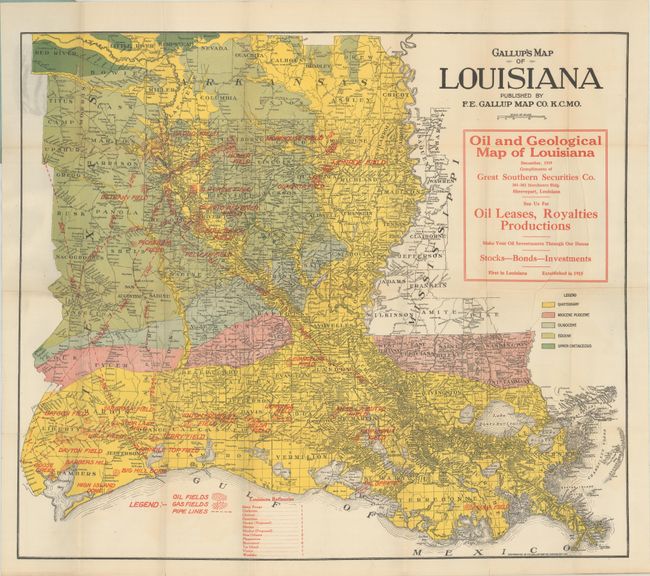
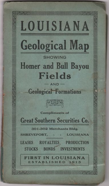
This scarce geological map of Louisiana focuses on the oil and gas industry. It covers all of Louisiana and portions of eastern Texas, including Beaumont and Houston, and southern Arkansas with five different geological types identified. Numerous oil and gas fields are located, many connected by named pipelines running to refineries in Shreveport, New Orleans, Baton Rouge with 10 other existing and proposed localities listed at the bottom of the map. Drawn with amazing detail on a scale of about 15 miles per inch, the map locates towns, villages, watershed, counties and county seats. Features a large overprinted advertisement for “Great Southern Securities Co.” Folds into blue paper wrappers. A seldom seen map from the early years of the Gulf Coast oil boom.
References:
Condition: A
Issued folding on a clean and colorful sheet. There are a few small splits at the fold junctions and a tiny hole adjacent to the lower right vertical fold. Paper wrappers are soiled and nearly detached.