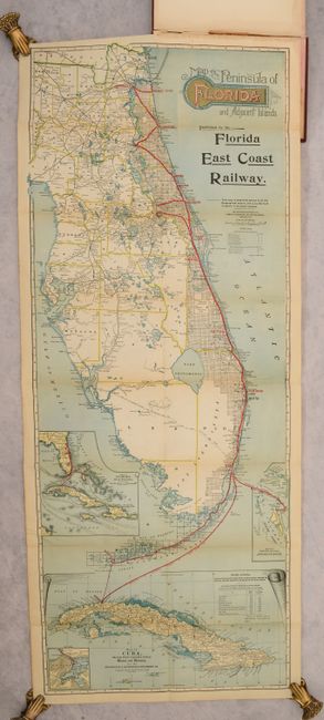
Subject: Florida
Period: 1902 (published)
Publication:
Color: Printed Color
Size:
15.5 x 39.5 inches
39.4 x 100.3 cm
This attractive and detailed map of Florida shows the Flagler railroad system from Jacksonville to Miami, with steamboat connections to Key West, Havanna, and Nassau. A table below the title shows the distances of the main line, branch lines, and steamship routes. County boundaries are depicted as well as cities, roads, canals, rivers and lakes. Includes 4 inset maps at bottom. Henry Flagler began his remarkable quest of constructing a railroad from Jacksonville to Key West in 1885, renaming it the Florida East Coast Railway in 1895. Over the coming years, Flagler's railroad would continue to push south until he finally reached Key West in 1912.
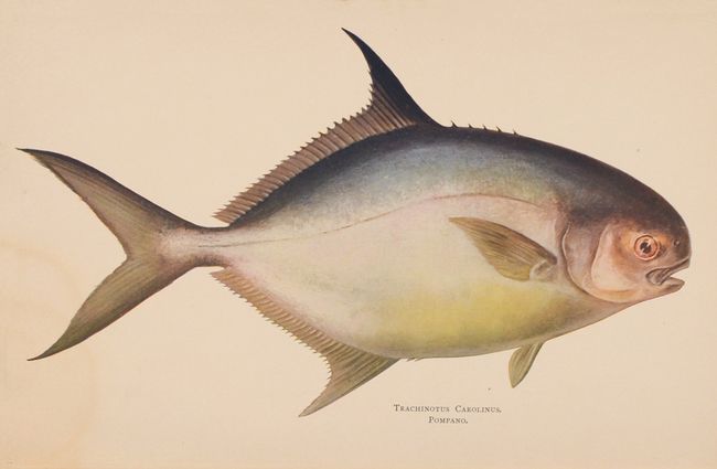
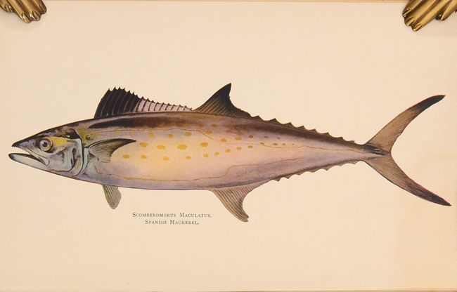
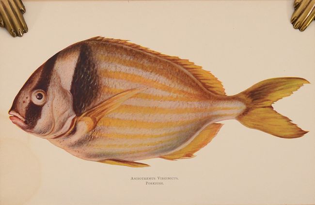
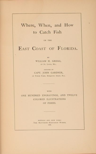
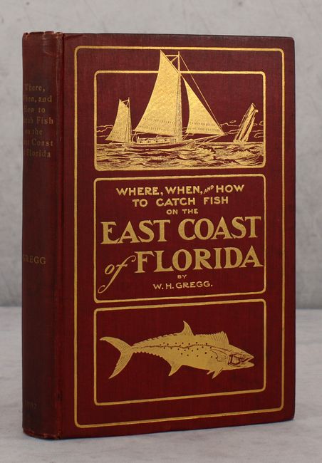
The map is still bound into the rear of Where, When, and How to Catch Fish on the East Coast of Florida by William H. Gregg. The 267-page volume features "one hundred engravings, and twelve colored illustrations of fishes" including Spanish Mackerel, Pompano, Red Snapper, Porkfish, and more. Hardbound in red cloth with gilt title and illustrations on the front cover.
References:
Condition: B+
The folding map has no tears or separations with some light toning along the folds and sheet edges. Text is also lightly toned. There is a minor dampstain along the top gutter that impacts the first 200 pages. The front hinge has been reinforced and the binding has light wear with bumped corners.