Subject: Washington, D.C.
Period: 1795 (published)
Publication:
Color: Black & White
Size:
5.3 x 8.5 inches
13.5 x 21.6 cm
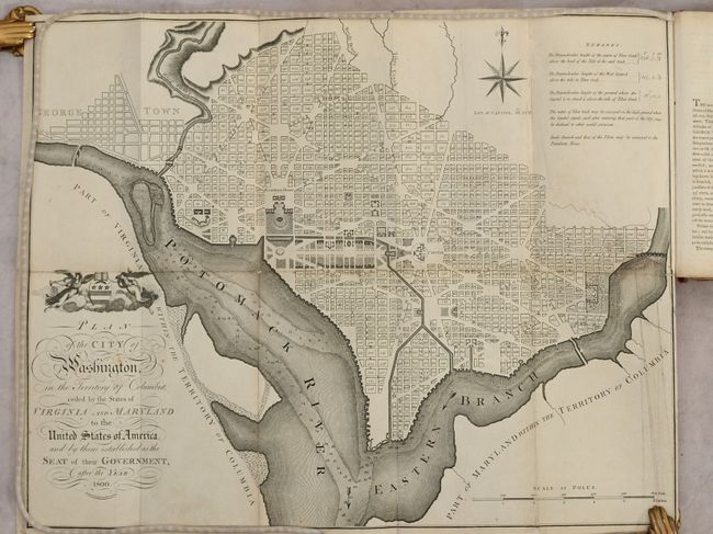
This map is based on the 1792 plan published by Andrew Ellicott. It is among the larger of the maps issued during the city's development. The plan shows the layout of streets including the long diagonals. Washington is bordered by the Potomack (Potomac) River and the Eastern Branch, now the Anacostia River. Georgetown, at the left and northwest of Rock Creek, is separately labeled. Reedy Branch and Tiber Creek are shown to the north outside of the street pattern. Each block is numbered. A few major buildings including the Capitol and the Presidents House are labeled; others are merely outlined. The proposed landscape design for the Mall is shown with considerable detail. Outline contours of docks and slips are shown along the rivers. Near the upper right is an eight-pointed compass indicator surmounted by a fleur-de-lys. Above the title is George Washington’s coat of arms supported by Fame and Liberty. At the lower right is a distance Scale of Poles. Remarks in the upper right lists the elevation of various locations in relation to the tide of Tiber Creek and how water could be provided to the city.
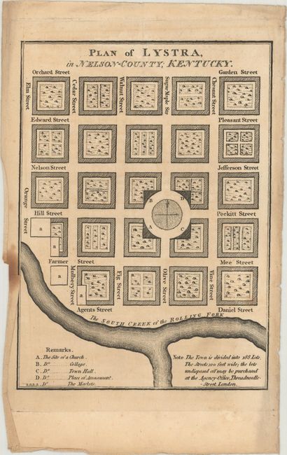
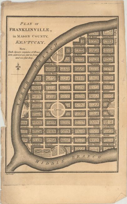
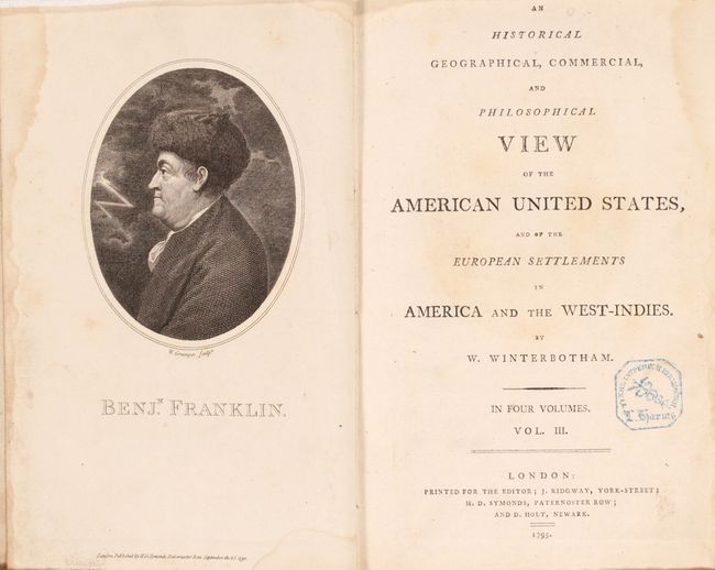
This is John Russell's version of the Ellicott plan of Washington that was published in volume three of William Winterbotham's An Historical, Geographical, Commercial and Philosophical View of the American United States. In addition to the D.C. map, this volume contains single-page maps of Lystra and Franklinville, Kentucky as well as a frontispiece of Benjamin Franklin. 525 pages. Hardbound in full leather with maroon title label on spine.
References: Phillips (DC) #PW 33; Phillips (M) p. 1005; Baynton-Williams, “Plans of Washington, D.C.”, MapForum.com, Issue 12, map 14; Howes #W-581.
Condition: B+
Condition code is for the map, which has been professionally backed with heavy tissue to reinforce and repair a 9" binding tear at right and a few minor fold separations. Text has minor toning and occasional foxing with several loose signatures. Binding is in need of repair with a cracked spine, nearly detached covers, and heavy external wear (C).