Subject: San Diego, California
Period: 1935-38 (circa)
Publication:
Color: Printed Color
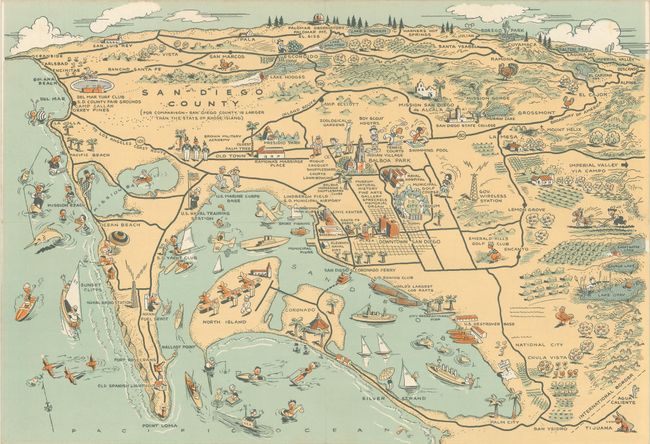
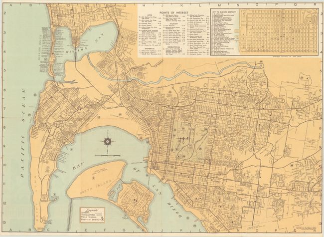
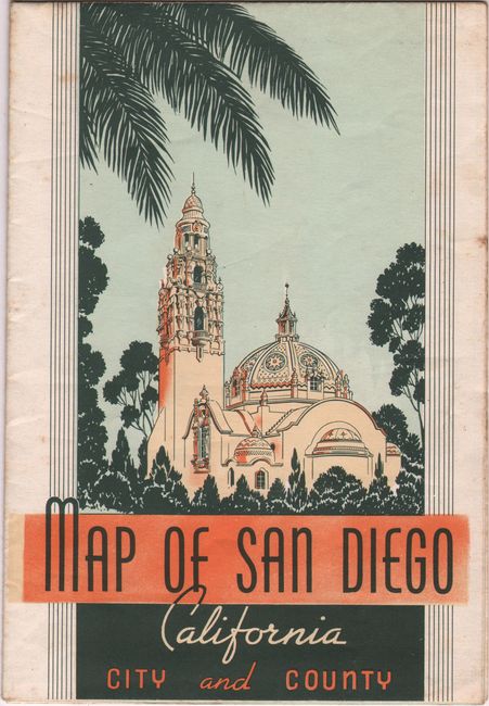
A. Map of San Diego California City and County, by Lowell E. Jones, circa 1935 (21.8 x 15.7"). This pamphlet includes a splashy untitled pictorial map (15.9 x 10.9") on verso as well as a more detailed map on recto showing the street grid pattern of the city. On the larger street map, streets, thoroughfares, and schools are identified along with a table listing 40 points of interest at top. Condition: Issued folding with some minor foxing.
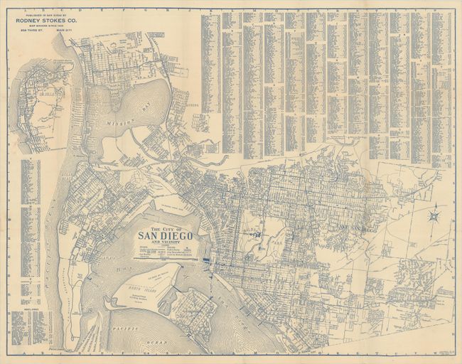
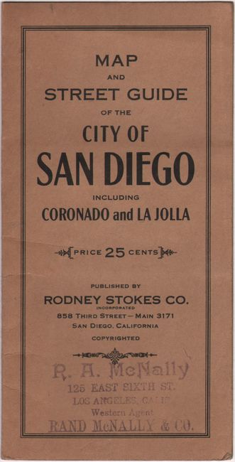
B. The City of San Diego and Vicinity, by Rodney Stokes Co., circa 1938 (23.4 x 18.2"). This detailed map of San Diego was printed with blue ink and includes a legend beneath the title identifying streets, street car lines, libraries, schools, and parks. Locates the U.S. Military Reservation, Naval Air Station, Rockwell Field, and more. Surrounded by a detailed street index. The circa date is based upon the presence of "Tent City" next to the Hotel Coronado which closed in 1939. Loose in wrappers with Rand McNally stamp on the front wrapper. Condition: Issued folding with some minor paper weakness along the right vertical fold and a small stain along the left border. There is a business card of a previous owner adhered to the inside front wrapper.
References:
Condition: B+
See description above.