Catalog Archive
Auction 187, Lot 172

"An Accurate Map of New York in North America, from a Late Survey", Anon.

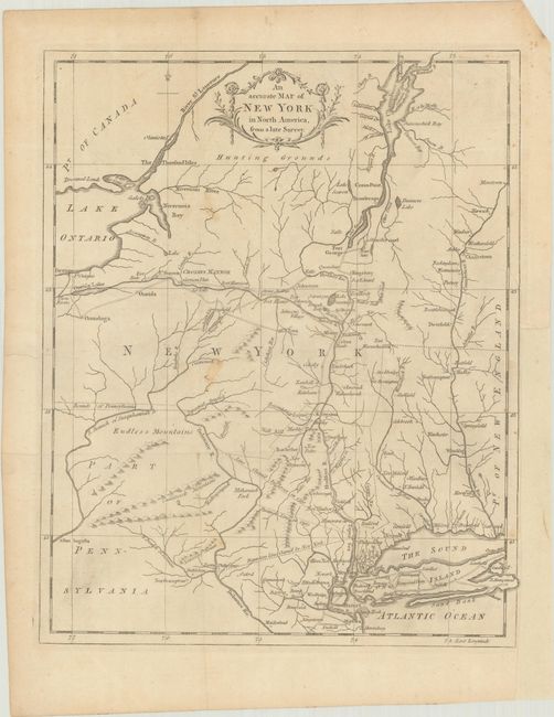
Subject: Colonial New England & New York

Period: 1780 (published)

Publication: Universal Magazine

Color: Black & White

Size:
10.6 x 13.2 inches
26.9 x 33.5 cm
Download High Resolution Image
(or just click on image to launch the Zoom viewer)

Despite the title, this map centers on New York but also covers parts of Pennsylvania, New Jersey, Connecticut Massachusetts and Vermont. It provides an excellent view of colonial settlements, forts and roads. Three different boundary line claims are shown between New Jersey and New York. West of the Delaware River are Endless Mountains and northern New York is labeled Hunting Grounds.

References: Jolly #UNIV-187; Sellers & Van Ee #1112.

Condition: B+

Issued folding on watermarked paper with a few small spots and a binding trim at lower right. A 2.5" edge tear at left and a 2" binding tear at right have been archivally repaired on verso.

Estimate: $200 - $230

Sold for: $100

Closed on 4/27/2022

Archived