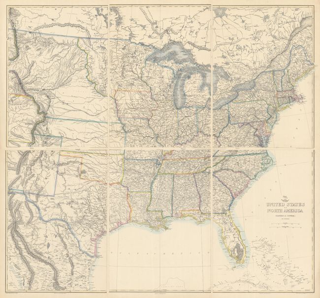
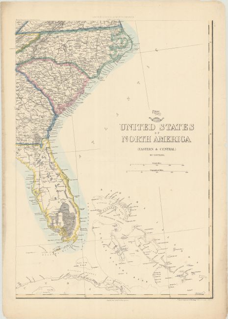
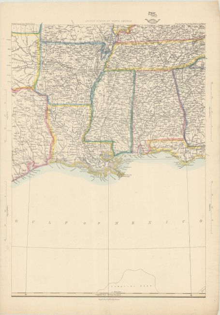
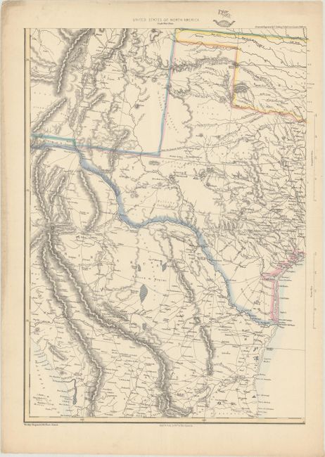
Subject: Eastern United States
Period: 1855 (circa)
Publication: The Dispatch Atlas
Color: Hand Color
Size:
12.1 x 16.9 inches
30.7 x 42.9 cm
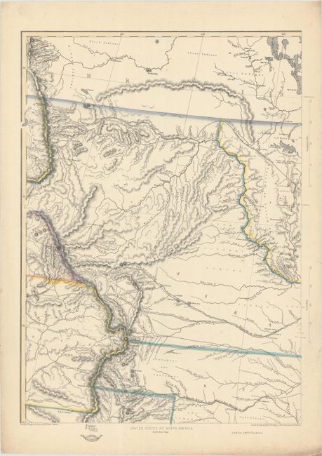
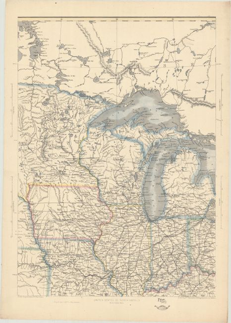
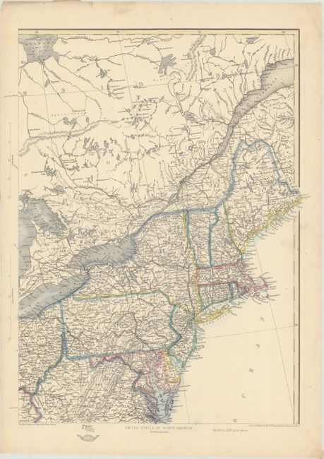
This six-sheet map shows the westward growth of the emerging states and territories just before the Civil War. The maps cover the region from the eastern seaboard to just past the Rocky Mountains. The routes of the proposed transcontinental railroad as surveyed by Capt. Gunnison, Lieut. Beckwith and Gov. Stevens are described, and the tracks of Fremont, Whiting, Connelly and others are shown. The emigrant road is shown with numerous important landmarks along the route noted. Numerous forts and Indian tribes are located, and there is good detail of roads, towns rivers, and topography throughout.
The Weekly Dispatch Atlas was published in monthly segments for subscribers of the Weekly Dispatch newspaper. The monthly editions eventually grew to include maps covering most of the known world. Published in various editions from 1855 through the early 1880s. Each map has the Dispatch Atlas seal above the title or in the margin.
References:
Condition: B+
Contemporary color with soft vertical and horizontal creases on each sheet. There are a few minor spots, marginal soiling, and a few edge tears in the margins that have been closed on verso with archival tape. The first image is a composite image - the map is in six separate sheets.