Subject: School Atlas
Period: 1844 (published)
Publication:
Color: Hand Color
Size:
9.6 x 12.1 inches
24.4 x 30.7 cm
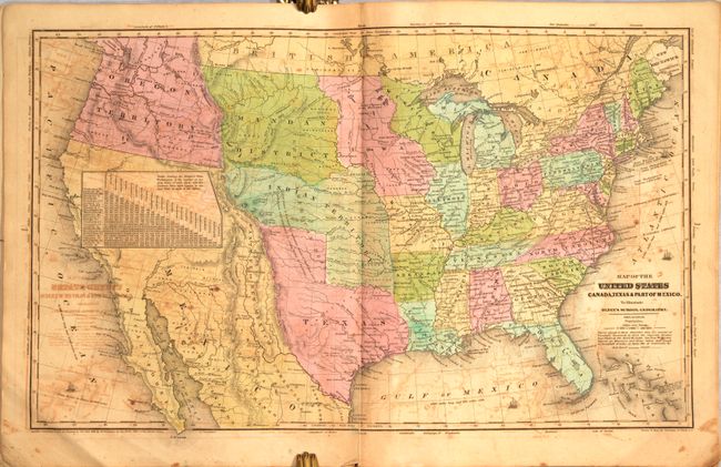
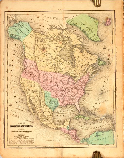
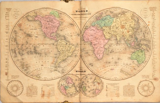
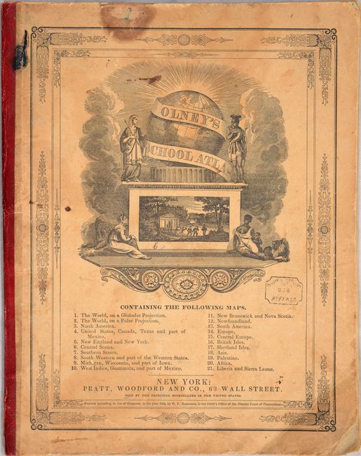
This is a complete example of Olney's atlas with 21 maps on 8 double-page and 6 single-page sheets including several related to the United States as well as maps of the world and continents. The double-hemisphere world map includes quaint little vignettes throughout, such as Indians and bison in North America, lions and elephants in Africa, a pagoda in China and a kangaroo in Australia. The map of the United States shows the independent Republic of Texas reaching well north of Long's Peak. To the west is a small region named Santa Fe or New Mexico. Oregon Territory reaches to the Continental Divide and extends well into present-day British Columbia reflecting U.S. interests in the region. See images for a complete list of maps on the front cover. Published by Pratt, Woodford & Co., New York.
References:
Condition: B
There is light to moderate offsetting throughout, light toning, and occasional staining or foxing. Covers are worn and soiled.