Subject: School Atlas
Period: 1838 (published)
Publication:
Color: Hand Color
Size:
8.1 x 10.1 inches
20.6 x 25.7 cm
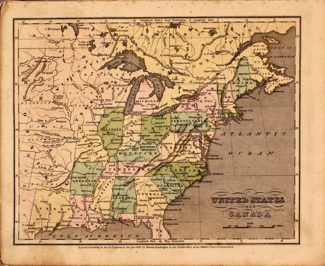
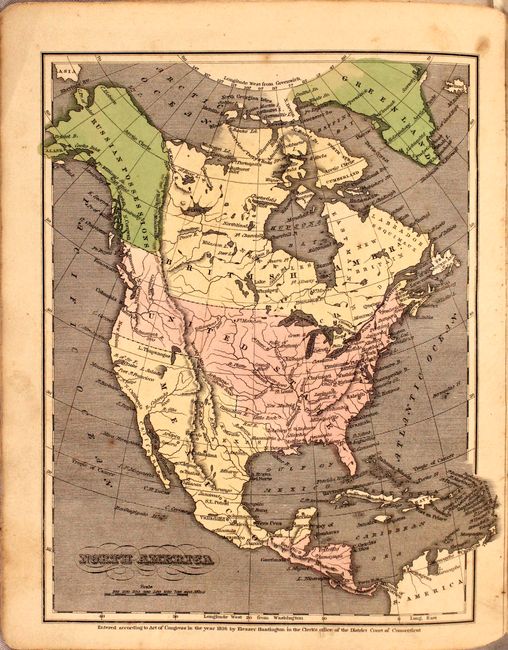
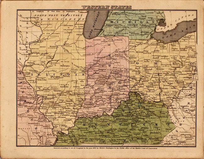
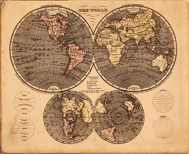
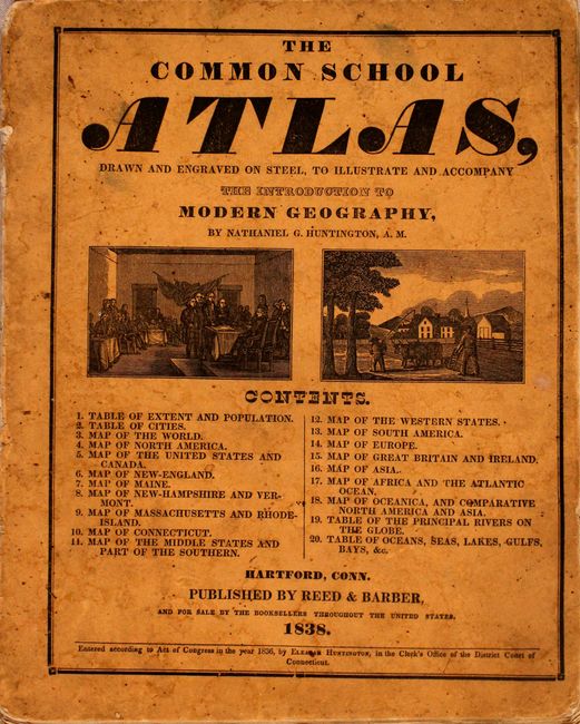
This scarce atlas that was issued in conjunction with Huntington's Modern Geography. Published by Reed & Barber, it contains sixteen steel engraved maps, all with original hand coloring. The burnt umber paper covers contain the title on front and advertisements on back for other Reed & Barber publications. The maps of the United States and North America show the Independent Republic of Texas. The map of the United States locates Galveston, Liberty, San Felipe, S. Antonio, Viesca, and more. Above Texas, the large Missouri Territory extends to the Wisconsin Territory which includes most of the northern Midwest. The North America map shows Alaska and western Canada as Russian Possessions. The U.S. border extends well into present-day British Columbia, reflecting U.S. interests in the region. A scarce and desirable atlas that is complete and in very nice condition.
References: cf. Rumsey #2022.
Condition: B+
Maps are very good to near fine with minor soiling and an occasional spot of foxing. Contents have separated from the paper wrappers, which are soiled and stained.