Subject: Atlases
Period: 1921 (circa)
Publication:
Color: Printed Color
Size:
11.7 x 14.9 inches
29.7 x 37.8 cm
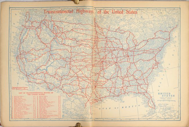
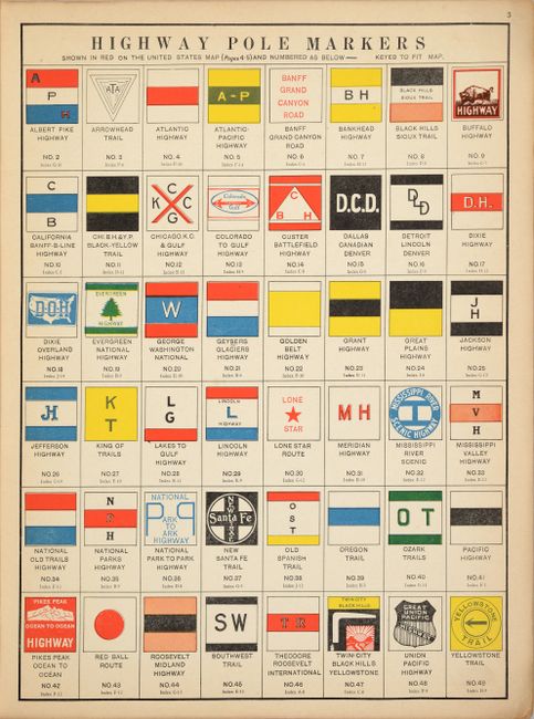
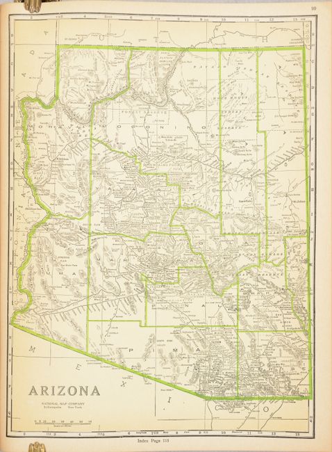
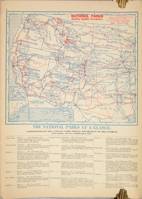
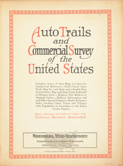
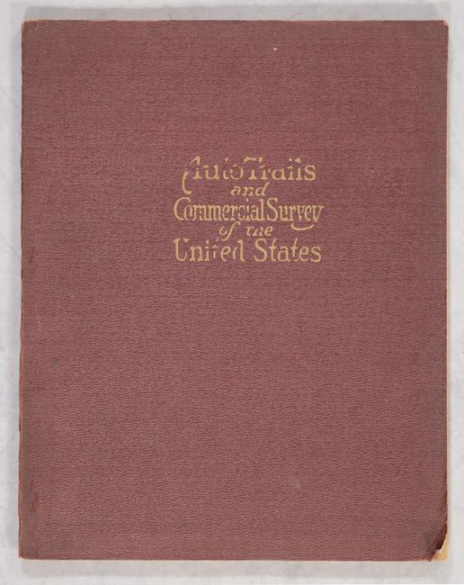
This rare early auto road atlas was published during the time period that the National Highway System was being developed. It includes a complete series of state maps, individual auto-trails map for each state, a double-page Transcontinental Highway United States map, map of the National Parks, and an extensive index locating cities, towns, and villages. Also included is a wonderful full-color plate, Highway Pole Markers, which depicts 48 road signs of these early highways. Each state map is double-sided with one side showing the roads and with a standard state/county map showing counties and political information on the other side. 144 pp. Original soft maroon pebbled cloth covers with gilt title on front cover. Undated, but this edition was published subsequent to the National Map Company's purchase of the George F. Cram & Company in 1921.
References:
Condition: B+
Mostly clean and bright with minor toning along the edges of the pages. The map of Indiana is present but detached, with some short tears and extraneous creases The soft covers have light soiling and bumped corners.