Subject: Atlases
Period: 1780 (circa)
Publication:
Color: Black & White
Size:
8.4 x 10.5 inches
21.3 x 26.7 cm
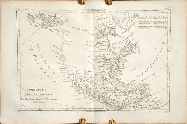
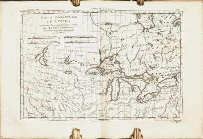
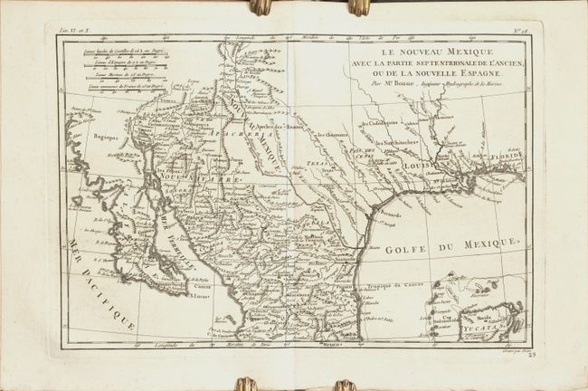
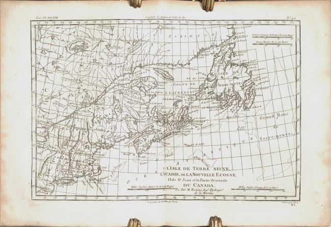
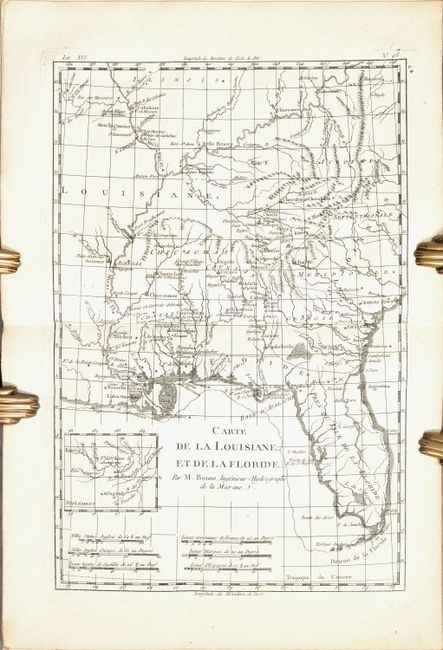
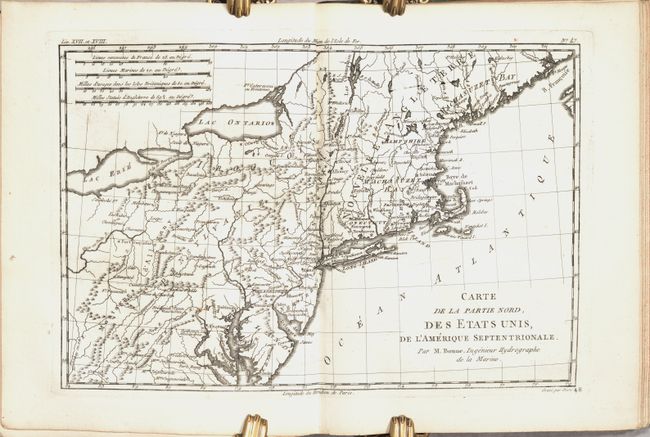
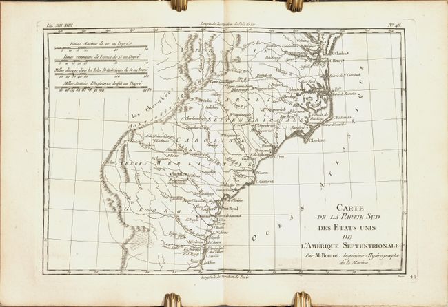
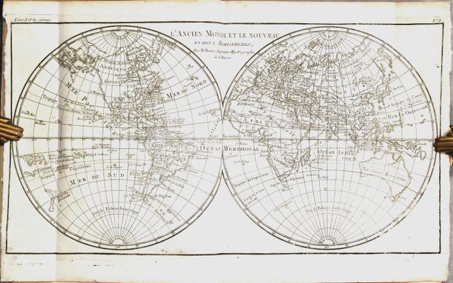
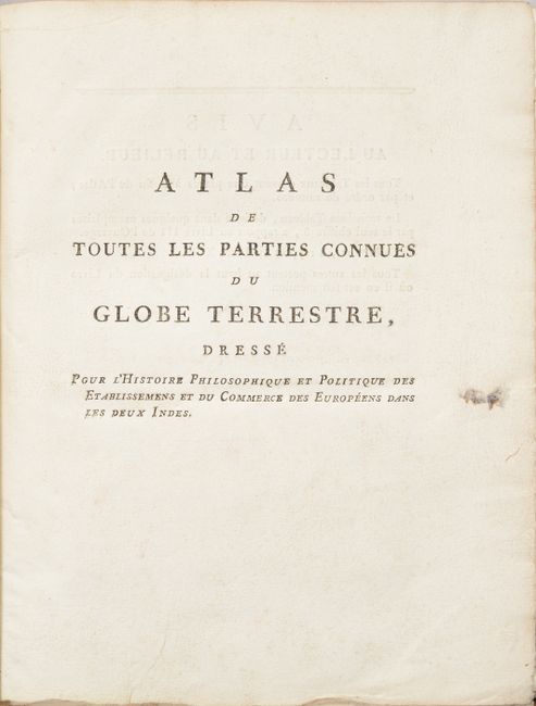
This is the atlas volume for Abbe Raynal's L'Histoire Philosophique et Politique des Etablissemens et du Commerce des Europeens dans les Deux Indes. The atlas is complete and is filled with Bonne's well-drawn maps and charts engraved by Andre and Dien. Included are a list of maps, Analyse Succincet de l'Atlas (28 pages), 50 maps, and 23 tables, many of which are folding. The map contents include two world maps, North America, South America, Europe, Asia, and Africa. There are also regional maps, including nine related to Europe, eight related to Africa, eight related to Asia, six related to South America, and fifteen related to North America. The notable North American regional maps are: Partie Occidentale du Canada; Le Nouveau Mexique; L'Isle de Terre-Neuve, l'Acadie; Carte de la Louisiane, et de la Floride; Carte de la Partie Nord des Etats Unis; and Carte de la Partie Sud des Etats Unis.
In the map of North America, the entire western part of the continent is left mostly blank. Indian tribes, such as the Apaches, Sioux, Outagamis, and Assenipouels, occupy the edges of defined territory. The British Colonies and a few major cities are named along the eastern seaboard and in the Great Lakes region. Alaska is shown as a group of islands, the largest of which is labeled Alaschka.
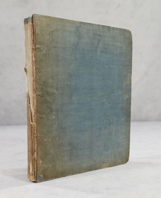
Hardbound in blue cloth. The atlas volume did not carry any publication information on the title page, but was known to be published in 1780.
References: Shirley (BL Atlases) T.BONN-3b.
Condition: A
The condition grade is for the maps, which are clean and bright with occasional light dampstains in margins (entering the image on 2 maps of northern South America and 1 map of western Africa), occasional minor offsetting and printer's ink residue, and a paper flaw on the map of Russia. The covers are stained and abraided with bumped corners. The spine is nearly perished.