Catalog Archive
Auction 186, Lot 731
"La Guinea Occidentale che Contiene le Isole di Capo Verde il Senegal la Costa Propriamente Detta della Guinea", Zatta, Antonio
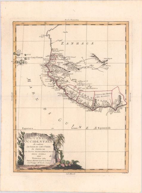
Subject: Western Africa
Period: 1784 (dated)
Publication: Atlante Novissimo
Color: Hand Color
Size:
12.2 x 16 inches
31 x 40.6 cm
Download High Resolution Image
(or just click on image to launch the Zoom viewer)
(or just click on image to launch the Zoom viewer)