Catalog Archive
Auction 186, Lot 642

"Palestinae Delineatio ad Geographiae Canones Revocata [on sheet with] Syriae Veteris Descriptio [and] Hierusalem [and] Exodus Israelis", Briet, Philippe
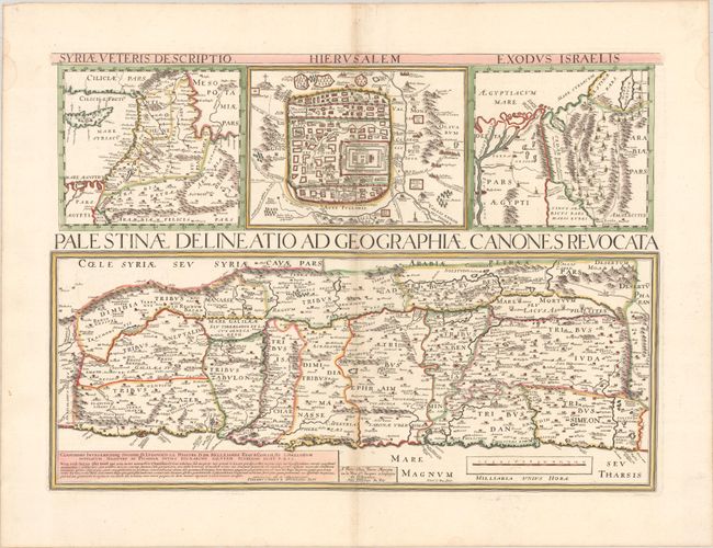
Subject: Holy Land

Period: 1667 (published)

Publication:

Color: Hand Color

Size:
21.4 x 15.4 inches
54.4 x 39.1 cm
Download High Resolution Image
(or just click on image to launch the Zoom viewer)

A very scarce and interesting map of the Holy Land engraved by Henri le Roy and published by Pierre Mariette. The map is divided into the twelve tribes and filled with detail. Above the map are three smaller maps: a general map of the region from southern Turkey to the Nile delta, a plan of ancient Jerusalem, and a map of the Exodus.

References:

Condition: B+

A sharp impression with contemporary outline color on a bright sheet with a large coat of arms watermark, very light toning along the centerfold, and a pair of small worm holes in the Mediterranean at bottom center.

Estimate: $240 - $300

Unsold

Closed on 2/9/2022

Archived