Catalog Archive
Auction 186, Lot 626
"Chorographie des Deux Anciennes Monarchies Universelles: la 1re celle des Babyloniens et des Assyriens: la 2me celle des Medes et des Perses", Philippe De Pretot, Etienne Andre
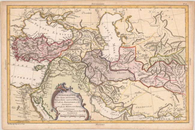
Subject: Middle East & Central Asia
Period: 1787 (published)
Publication: Atlas Universel
Color: Hand Color
Size:
16.3 x 10.6 inches
41.4 x 26.9 cm
Download High Resolution Image
(or just click on image to launch the Zoom viewer)
(or just click on image to launch the Zoom viewer)