Catalog Archive
Auction 186, Lot 612

"L'Isle de Corse Divisee par Juridictions Extraite de Plusieurs Cartes Nationales", Bonne/Lattre
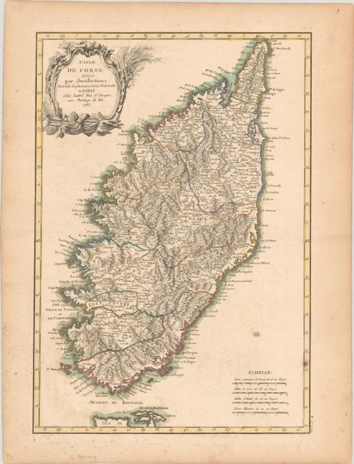
Subject: Corsica

Period: 1783 (dated)

Publication: Atlas Moderne

Color: Hand Color

Size:
11.9 x 17.2 inches
30.2 x 43.7 cm
Download High Resolution Image
(or just click on image to launch the Zoom viewer)

This detailed map of Corsica delineates 11 different jurisdictions. There are numerous place names and intricate topographical detail. The map also traces the island's network of roads. An ornate title cartouche decorates the top left corner. There are four distance scales at bottom right.

References:

Condition: B+

A fine impression on watermarked paper with light foxing and marginal toning.

Estimate: $150 - $180

Sold for: $130

Closed on 2/9/2022

Archived