Catalog Archive
Auction 186, Lot 495

"Nova Totius Germaniae Descriptio", Blaeu, Willem

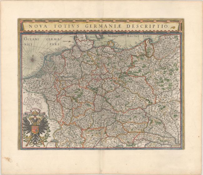
Subject: Central Europe, Germany

Period: 1635 (circa)

Publication:

Color: Hand Color

Size:
19.5 x 15.3 inches
49.5 x 38.9 cm
Download High Resolution Image
(or just click on image to launch the Zoom viewer)

This map of the German Empire covers present-day Germany, Poland, Netherlands, Belgium, Switzerland, Austria, Czech Republic and parts of Poland and Hungary. The map is densely engraved with information and decorated with the imperial double-headed eagle of the German Empire. Latin text on verso, published between 1635-55.

References: Van der Krogt (Vol. II) #2000:2B.2.

Condition: A

A nice impression with an extraneous crease along the centerfold and a short centerfold separation in the bottom blank margin.

Estimate: $325 - $400

Sold for: $325

Closed on 2/9/2022

Archived