Catalog Archive
Auction 186, Lot 463

NO RESERVE

"Lotharingia cum Continguis. Accurate Curatius", Weigel, Christopher

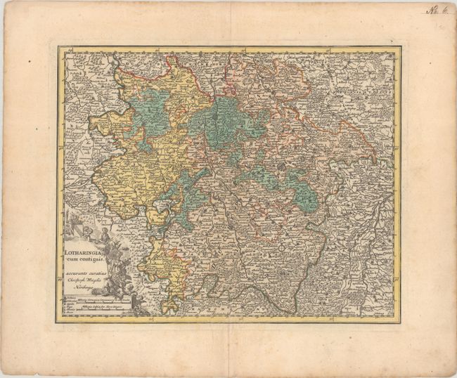
Subject: Northeastern France

Period: 1720 (circa)

Publication: Bequemer Schul-und Reisen-Atlas...

Color: Hand Color

Size:
13.4 x 10.8 inches
34 x 27.4 cm
Download High Resolution Image
(or just click on image to launch the Zoom viewer)

This densely engraved map of the Lorraine region is centered on Nancy, extending north to the capital of Luxembourg, east to Strasburg, south to Mulhouse, and west to St. Dizier. The map is filled with tiny towns, mountains, forests, political boundaries, and the river system. Decorated with an allegorical title cartouche.

References: Shirley (BL Atlases) T.WEIG-1a #13.

Condition: B+

Contemporary color with very light soiling.

Estimate: $90 - $110

Sold for: $32

Closed on 2/9/2022

Archived