Catalog Archive
Auction 186, Lot 434
"The North Sea with the Kattegat from the Chart of Messrs Deverdun, de Borda, and Pingre Made Public in 1777, by Order of Louis XVI...", Faden, William
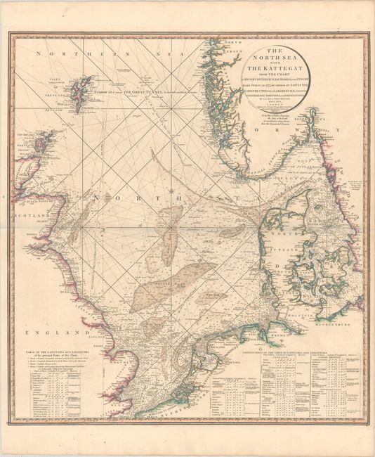
Subject: North Sea
Period: 1796 (dated)
Publication:
Color: Hand Color
Size:
23.8 x 25.8 inches
60.5 x 65.5 cm
Download High Resolution Image
(or just click on image to launch the Zoom viewer)
(or just click on image to launch the Zoom viewer)