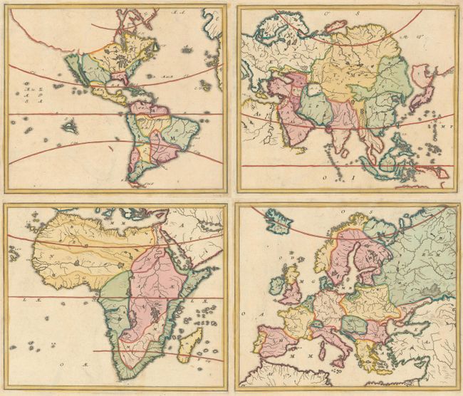
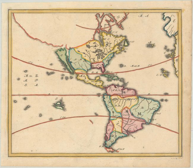
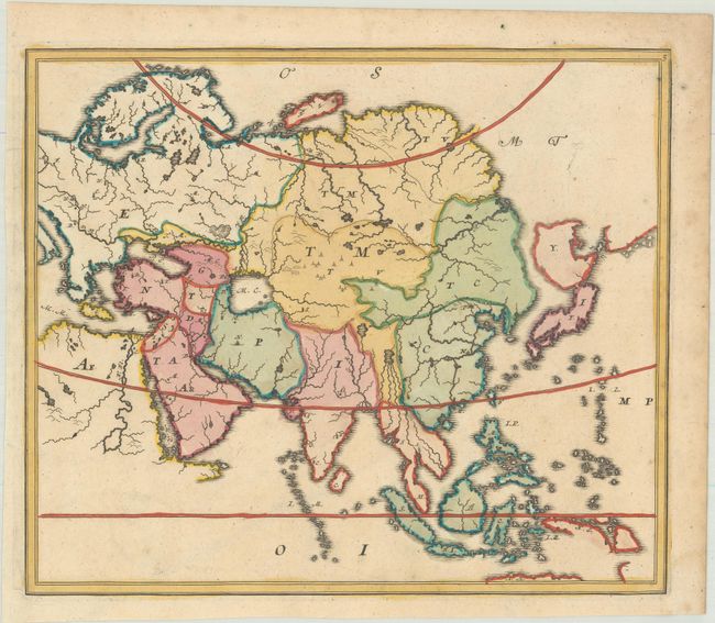
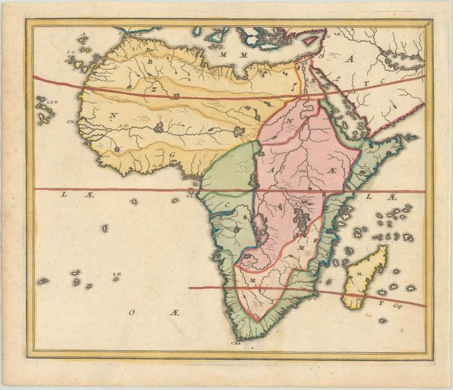
Subject: Continents
Period: 1719 (circa)
Publication: Atlas Methodicus
Color: Hand Color
Size:
11.1 x 9.5 inches
28.2 x 24.1 cm
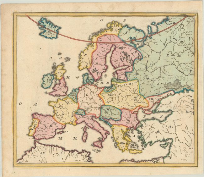
This map was intended for geographical instruction, and as such it only shows the outlines of regions and countries, as well as major lakes, rivers and islands. Each geographical location is identified with a letter that corresponded with an index revealing the answers. This is one of the earliest examples of school maps that used this type of system to teach geography, and according to Rumsey, it was "based on a teaching system formulated by Johann Hubner (1668-1731) and adapted by Homann." The atlas is quite scarce, and examples of the atlas or individual maps are not often found in the market. Size of each map varies slightly. Although each map was printed from a separate plate, these four maps were often printed on a single sheet; however in this example they have been separated into 4 sheets.
References: Rumsey #4385; Shirley (BL Atlases) T.HOM-2a #4-7.
Condition: A
Sharp impressions with full contemporary color, minor offsetting, and light foxing and soiling confined to the edges of the sheets. The maps of the western hemisphere and Africa each have two small worm holes in the image. The first image is a composite image - the maps are on four separate sheets.