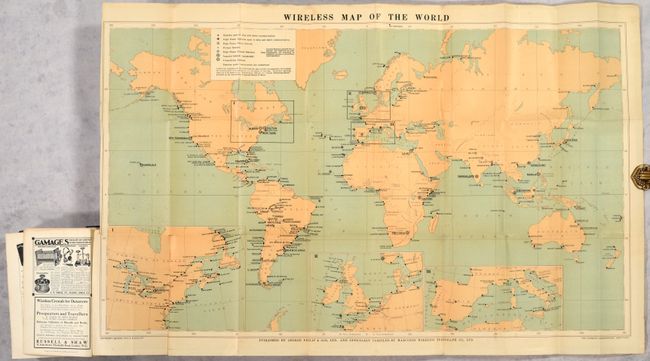
Subject: World
Period: 1913 (published)
Publication:
Color: Printed Color
Size:
33.4 x 20.4 inches
84.8 x 51.8 cm
This map is drawn on Mercator's projection and shows the extent of wireless stations throughout the world. A key at top identifies the various types of stations including those "open to ship and shore communication", various "high power" stations, imperial schemes, and Trans-Ocean schemes. Inset maps at bottom show more detail for the populous regions of the northeastern United States, Great Britain, and a portion of western Europe.
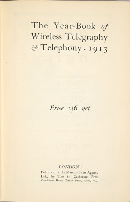
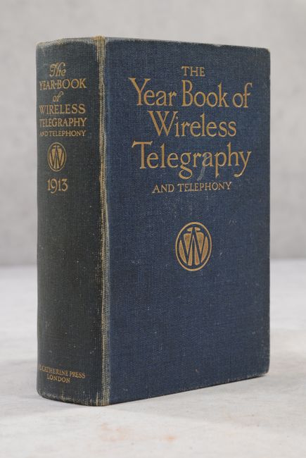
The map is bound into the rear of the 564-page yearbook, with the preface noting that it was the first issue of the first publication of its kind - a remarkably comprehensive summary of the history and current operation of wireless communications. In its summary of 1912 events, the text reads: “The disastrous loss of life occasioned by the Titanic on April 15 was mitigated to some extent through the help secured by its wireless call, and, where all on board might have been drowned but for the assistance of wireless telegraphy, a considerable number of lives were saved. (p. 37).” The final page notes that the map “is one of the most striking maps on the market” and that the rapid development of wireless stations has made the map indispensable. Octavo, hardbound in blue cloth with gilt title on the front cover and spine. Published by the Marconi Press Agency Limited.
References:
Condition: B+
The folding map is very good with a 5" edge tear and 3" fold separation at lower left that have been closed on verso with archival tape. Text and plates are clean, bright and near fine. Covers have average wear.