Subject: Pennsylvania
Period: 1855 (dated)
Publication:
Color: Hand Color
Size:
37.4 x 25.6 inches
95 x 65 cm
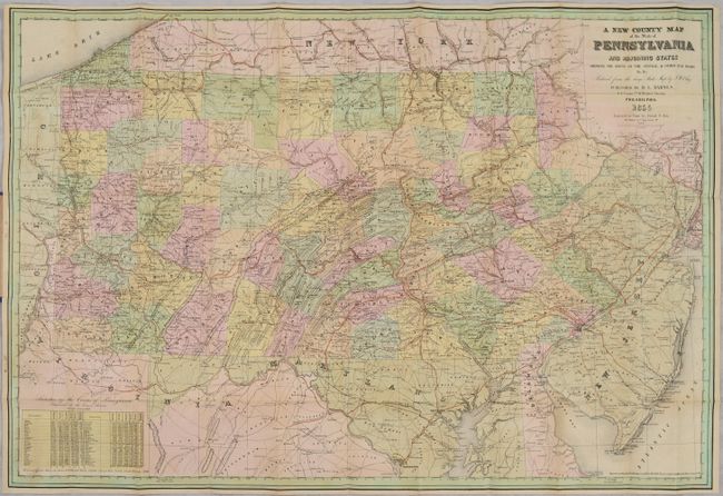
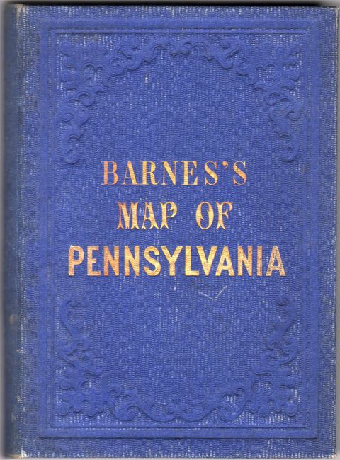
This large pocket map of the state is reduced from an earlier map by J.W. Otley and engraved on stone by Friend & Aub in Philadelphia. The rapidly evolving railroad network is the focus of this map with the various lines depicted in red overprinting and extending to Washington DC, Baltimore, and New York. Locates the Central Railroad, Ohio & Pennsylvania, Baltimore & Ohio, Winchester & Potomac, and many more. County configurations are current to the date of the map, which also shows numerous towns and cities, elevation by hachure, and the river systems. Includes population statistics from the 1850 census in the lower left corner. Barnes first issued this map in 1852 per the copyright notice at bottom right, updated here to 1855. Folds into blue cloth boards with gilt title on the front cover (4.4 x 5.8").
References:
Condition: B+
Issued folding with light offsetting and a few tiny splits at the fold junctions that have been closed on verso with archival tape. Covers are lightly worn and soiled.