Subject: Eastern Massachusetts
Period: 1930 (dated)
Publication:
Color: Printed Color
Size:
25 x 35.5 inches
63.5 x 90.2 cm
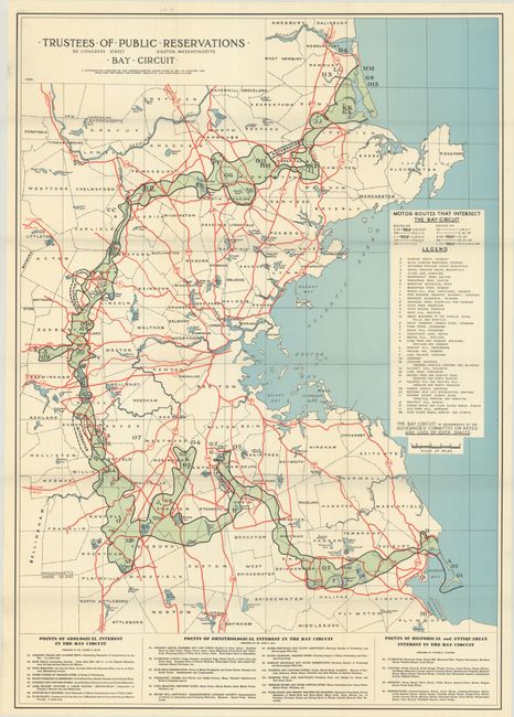
This very scarce map of the Bay Circuit Trail in eastern Massachusetts was issued by the Trustees of Public Reservations. The trail was initially proposed in 1929 by Charles Eliot, architect and founder of the Trustees of Public Reservations. The map delineates the recommended complex of trails that would comprise the Bay Circuit Trail, including such locations as Henry David Thoreau's Walden Pond and the Massachusetts Audobon Society's Moose Hill Sanctuary. It centers on Boston and extends to Plum Island and the mouth of the Merrimac River in the north and to Duxbury Bay and Plymouth Harbor in the south. A legend at right identifies motor routes that intersect the trail and 39 sites of interest. Further indexes along the bottom indicate points of geological, orinthological, and historical and antiquarian interest.
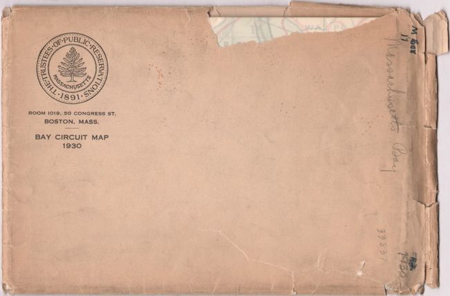
Since its founding in 1891, the Trustees of Public Reservations has sought to preserve natural and historical places in the Commonwealth of Massachusetts. It is the world's oldest nonprofit organization dedicated to land conservation. The map is the work of Charles Eliot II, the nephew of the organization's founder. The lot includes the map's original envelope with the seal of the Trustees of Public Reservations.
References: Rumsey #13074.000.
Condition: A+
Condition code is for the folding map, which is clean, bright and fine. The accompanying envelope is lightly soiled with several chips and edge tears.