Catalog Archive
Auction 186, Lot 266

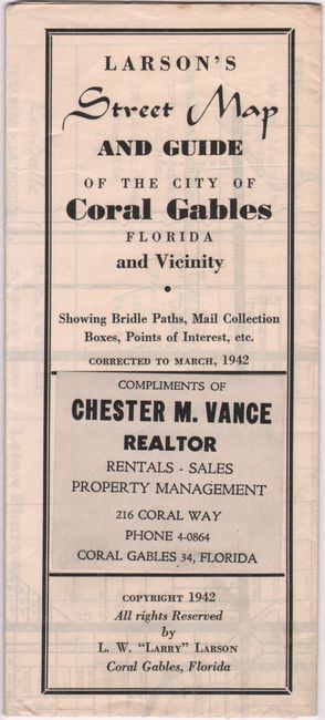
"Larson's Street Map & Guide of the City of Coral Gables, Florida and Vicinity Showing Points of Interest, Bridle Paths, Golf Courses, Mail Collection Boxes, Etc.",

Subject: Coral Gables, Florida

Period: 1942 (dated)

Publication:

Color: Black & White

Size:
16.1 x 20.8 inches
40.9 x 52.8 cm
Download High Resolution Image
(or just click on image to launch the Zoom viewer)

This basic map of Coral Gables was published by L.W. "Larry" Larson and distributed compliments of Chester M. Vance, Realtor. It shows the street-grid pattern of the city with 89 points of interest keyed to a table on verso. Surrounding the map are numerous local advertisements and a small inset of the greater Miami area. Street Index and points of interest on verso. Self-folding.

Coral Gables, located southwest of downtown Miami, was established during the 1920’s as one of the first American planned communities and to this day maintains strict zoning regulations.

References:

Condition: B+

Issued folding on a bright sheet with some minor pencil marks in the image.

Estimate: $140 - $170

Sold for: $120

Closed on 2/9/2022

Archived